Nedlands, Perth
Map
Map

Facts and practical information
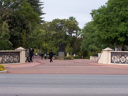
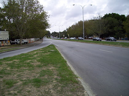
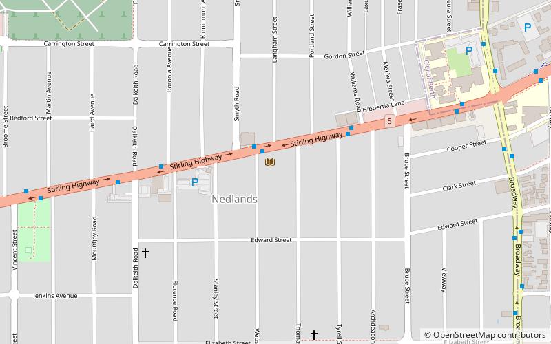
Nedlands is an affluent western suburb of Perth, the capital city of Western Australia. It is a part of the local government areas of the City of Nedlands and the City of Perth. It is about 7 kilometres from the Perth CBD via either Thomas Street or Mounts Bay Road. ()
Address
NedlandsPerth
ContactAdd
Social media
Add
Day trips
Nedlands – popular in the area (distance from the attraction)
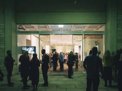
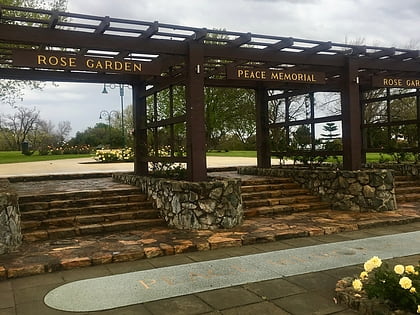
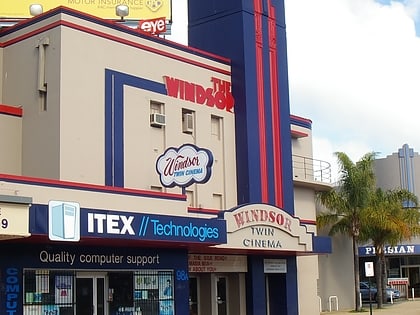
Nearby attractions include: Lawrence Wilson Art Gallery, Peace Memorial Rose Garden, Reid Library, Windsor Cinema.
Frequently Asked Questions (FAQ)
Which popular attractions are close to Nedlands?
Nearby attractions include Peace Memorial Rose Garden (12 min walk), International Centre for Radio Astronomy Research, Perth (13 min walk), Lawrence Wilson Art Gallery, Perth (16 min walk), Reid Library, Perth (17 min walk).
How to get to Nedlands by public transport?
The nearest stations to Nedlands:
Bus
Train
Bus
- Broadway before Cooper Street • Lines: 96 (11 min walk)
- Broadway after Cooper Street • Lines: 96, 97 (12 min walk)
Train
- Karrakatta (25 min walk)
- Loch Street (27 min walk)

