Northbank, Brisbane

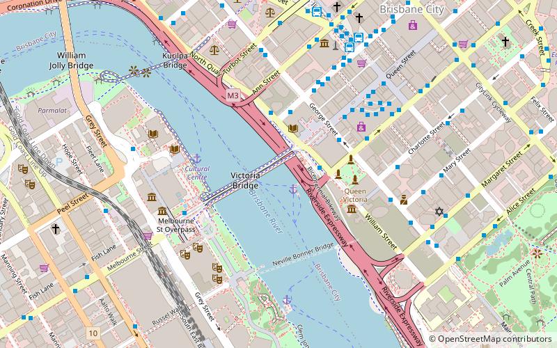
Map
Facts and practical information
North Bank was a proposed commercial development in the Brisbane River in the centre of Brisbane, Australia. The site to be built on starts from William Jolly Bridge and stretches to Goodwill Bridge at Gardens Point. There was minimal public support for the proposal. ()
Coordinates: 27°28'20"S, 153°1'19"E
Address
Brisbane CityBrisbane
ContactAdd
Social media
Add
Day trips
Northbank – popular in the area (distance from the attraction)
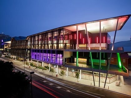
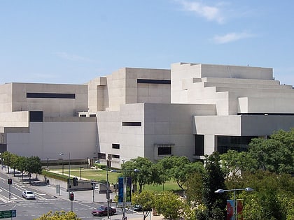
Nearby attractions include: Queen Street Mall, QAGOMA, QueensPlaza, The Myer Centre.
Frequently Asked Questions (FAQ)
Which popular attractions are close to Northbank?
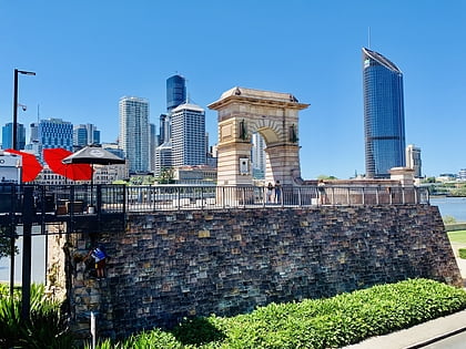
Nearby attractions include William Street, Brisbane (2 min walk), Victoria Bridge, Brisbane (2 min walk), Brisbane Square Library, Brisbane (3 min walk), Old State Library Building, Brisbane (3 min walk).
How to get to Northbank by public transport?
The nearest stations to Northbank:
Ferry
Bus
Train
Ferry
- North Quay 1 • Lines: Chop-400, Uqsl-1410 (2 min walk)
- North Quay 2 • Lines: Chop-400 (2 min walk)
Bus
- North Quay Island Stop 109 near Adelaide St • Lines: 475 (3 min walk)
- George Street Stop 116 • Lines: N100, N339 (4 min walk)
Train
- Central (13 min walk)
- Roma Street (15 min walk)


