Sydney/Sutherland Shire, Sydney

Gallery (8)
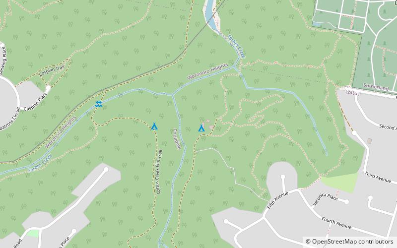
Map


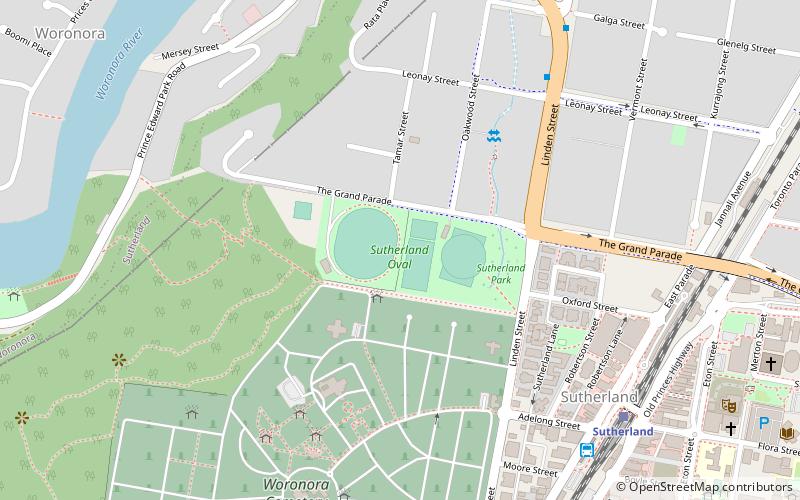
Map

Gallery
Facts and practical information
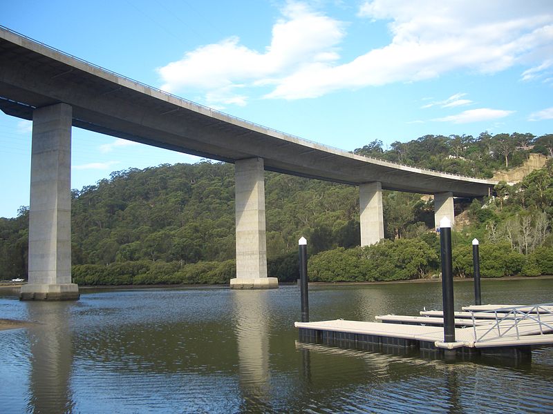
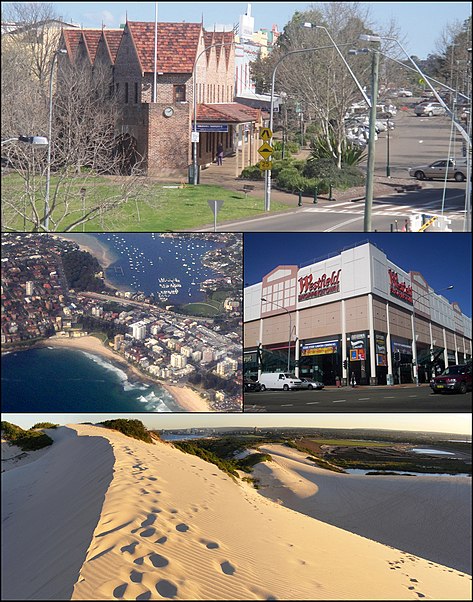
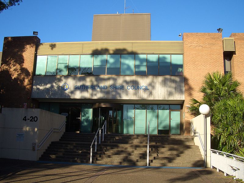
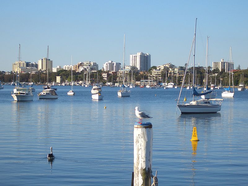
The Sutherland Shire is a local government area in the southern region of Sydney, in the state of New South Wales, Australia. The Sutherland Shire comprises an area of 370 square kilometres and as at the 2016 census had an estimated population of 218,464. Sutherland Shire is colloquially known as "The Shire" and has featured in several reality television series. ()
Getting there by public transportation
Public transportation stops near this location
- Bus
- Tram
- Train
 Bus
Bus
- Calculate routeWaratah Loop 9 min walk
- Calculate routeTramway Museum 21 min walk
- Calculate routeSutherland Station, Stand A 10 min walk
- Calculate routeAkuna Oval 30 min walk
- Calculate routeSutherland 12 min walk
- Calculate routeLoftus 22 min walk
Maps Sydney TrainsMaps
 Sydney Light RailMaps
 Sydney Ferries
Sydney TrainsMapsSydney Light RailMapsSydney FerriesDay trips


Frequently Asked Questions (FAQ)
Which popular attractions are close to Sydney/Sutherland Shire?
Nearby attractions include Woronora Memorial Park, Royal National Park (2 min walk), Shire Farmers Market, Sydney (15 min walk), Youthworks College, Royal National Park (15 min walk), Shirelive Church, Sydney (16 min walk).
How to get to Sydney/Sutherland Shire by public transport?
The nearest stations to Sydney/Sutherland Shire:
Tram
Bus
Train
Tram
- Waratah Loop (9 min walk)
- Tramway Museum (21 min walk)
Bus
- Sutherland Station, Stand A • Lines: M92 (10 min walk)
- Akuna Oval • Lines: M92 (30 min walk)
Train
- Sutherland (12 min walk)
- Loftus (22 min walk)