Sutherland Shire Libraries, Royal National Park

Gallery (2)
Map
Map
Gallery
Facts and practical information
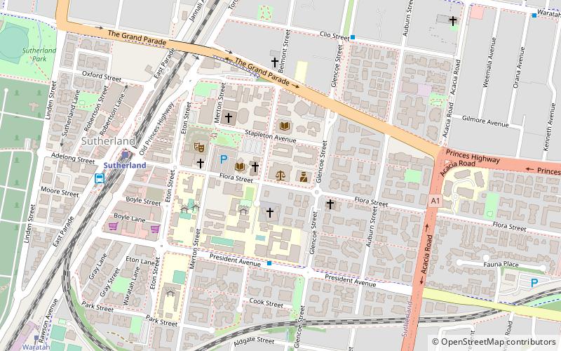
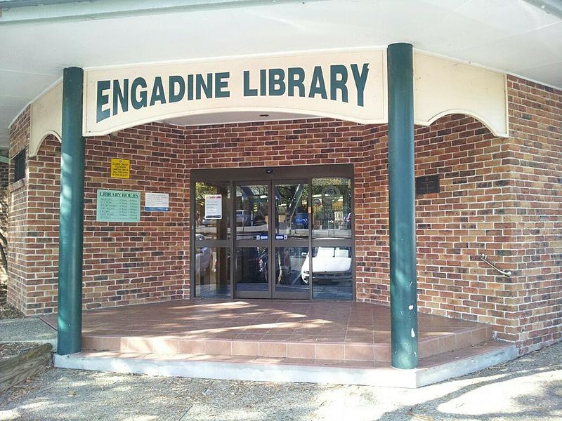
Sutherland Shire Libraries is an Australian public library system which serves the Sutherland Shire, in Sydney, New South Wales. It was officially established in 1953. As of June 2016, the library had 76,389 registered members, and a collection of 367,049 items. There are eight branches in the system, named after the suburbs in which they are located. ()
Coordinates: 34°1'56"S, 151°3'43"E
Address
SutherlandRoyal National Park
ContactAdd
Social media
Add
Getting there by public transportation
Public transportation stops near this location
- Bus
- Tram
- Train
 Bus
Bus
- Calculate routeSutherland 7 min walk
- Calculate routeKirrawee 16 min walk
- Calculate routeLoftus 28 min walk
- Calculate routeJannali 29 min walk
- Calculate routeSutherland Station, East Pde, Stand E 8 min walk
- Calculate routeWaratah Loop 14 min walk
- Calculate routeTramway Museum 27 min walk
Day trips


Frequently Asked Questions (FAQ)
Which popular attractions are close to Sutherland Shire Libraries?
Nearby attractions include Shire Farmers Market, Sydney (4 min walk), Shirelive Church, Sydney (5 min walk), Woronora Memorial Park, Royal National Park (17 min walk), Sydney/Sutherland Shire, Sydney (18 min walk).
How to get to Sutherland Shire Libraries by public transport?
The nearest stations to Sutherland Shire Libraries:
Train
Bus
Tram
Train
- Sutherland (7 min walk)
- Kirrawee (16 min walk)
Bus
- Sutherland Station, East Pde, Stand E • Lines: M92 (8 min walk)
Tram
- Waratah Loop (14 min walk)
- Tramway Museum (27 min walk)