Swanport Bridge
Map
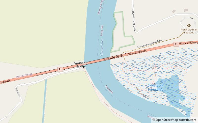
Map

Facts and practical information
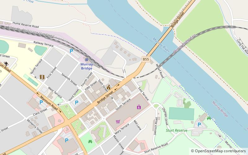
Swanport Bridge is a road bridge that carries Highway 1 across the Murray River, located approximately 4 kilometres southeast of the town of Murray Bridge in South Australia, Australia. Opened on 30 May 1979 by transport minister Geoff Virgo, the bridge connects the communities of Murray Bridge and Tailem Bend. ()
Opened: 30 May 1979 (46 years ago)Length: 3281 ftCoordinates: 35°8'51"S, 139°18'32"E
Location
South Australia
ContactAdd
Social media
Add
Day trips
Swanport Bridge – popular in the area (distance from the attraction)
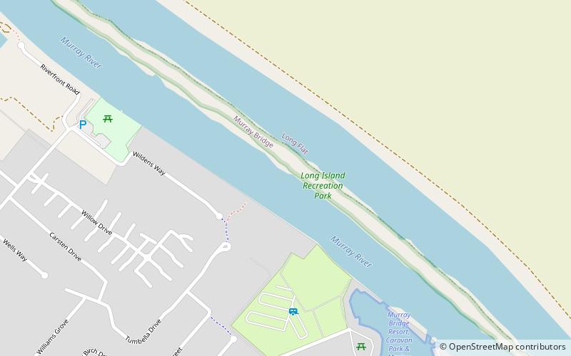
Nearby attractions include: Murray River road bridge, Long Island Recreation Park, St John the Baptist Cathedral, Murray Bridge Tunnel.


