Murray River road bridge, Murray Bridge
Map

Map

Facts and practical information
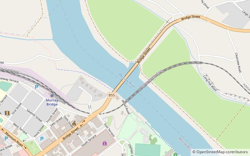
The Murray River road bridge, Murray Bridge is a bridge in the town of Murray Bridge, located 76 km south-east of Adelaide on the Murray River north of Lake Alexandra. The bridge was built as a road bridge in 1879 and converted for mixed road/rail use shortly thereafter. The tiny settlement of Edwards Crossing was renamed Murray Bridge when a new railway bridge was constructed in 1924. Since then, the bridge has been used for road traffic only. ()
Coordinates: 35°6'56"S, 139°16'48"E
Address
Murray Bridge
ContactAdd
Social media
Add
Day trips
Murray River road bridge – popular in the area (distance from the attraction)
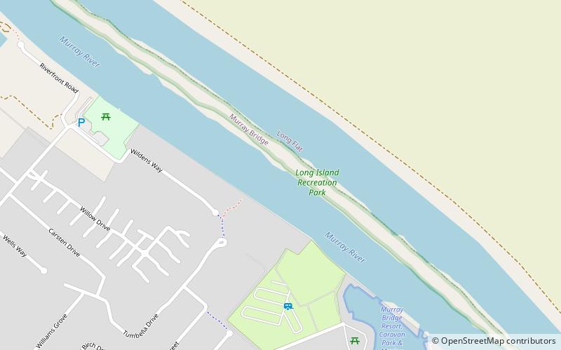
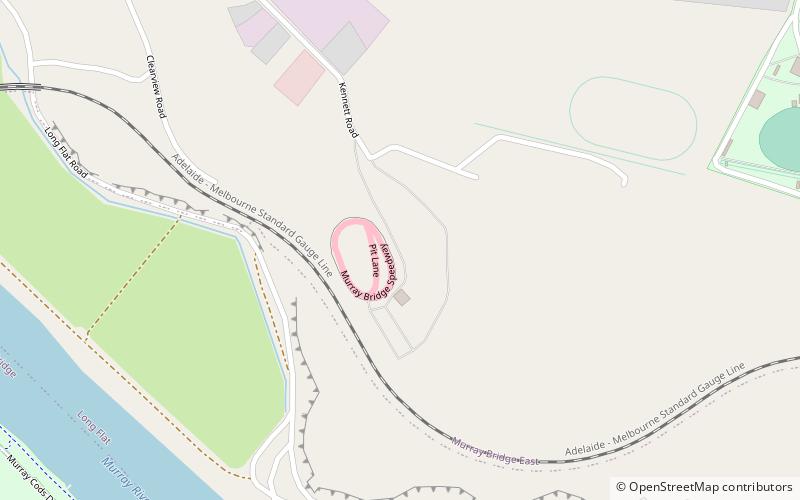
Nearby attractions include: Long Island Recreation Park, St John the Baptist Cathedral, Murray Bridge Tunnel, Murray Bridge Speedway.
Frequently Asked Questions (FAQ)
Which popular attractions are close to Murray River road bridge?
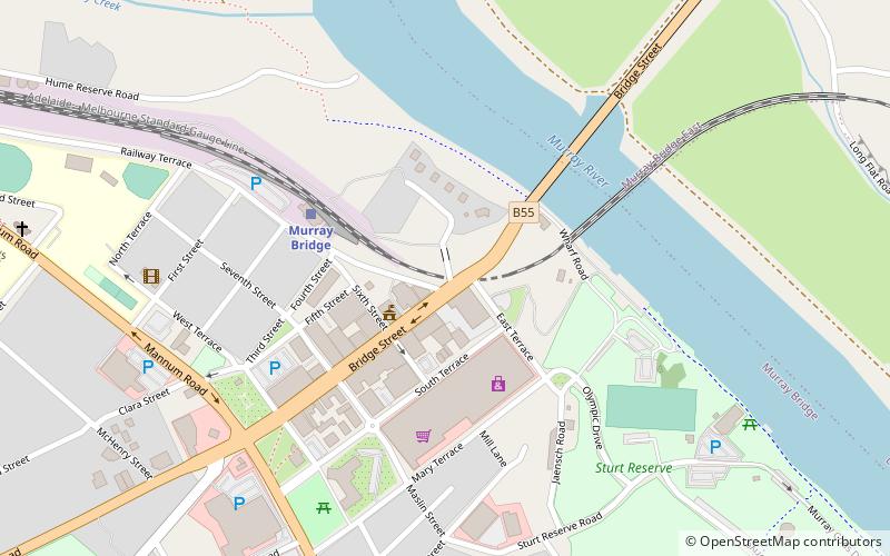
Nearby attractions include Murray Bridge Tunnel, Murray Bridge (5 min walk), St John the Baptist Cathedral, Murray Bridge (13 min walk).


