Manly Ferry Terminal, Sydney
Map

Map

Facts and practical information
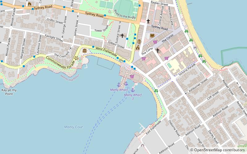
Manly Wharf is a heritage-listed passenger terminal wharf and recreational area located at West Esplanade and serving Manly, a Sydney suburb in the Northern Beaches Council local government area of New South Wales, Australia. Since the 1850s, it has served as the Manly embarkation and disembarkation point for the Manly to Sydney ferry service. ()
Opened: 1939 (87 years ago)Coordinates: 33°47'60"S, 151°17'2"E
Address
Manly (Manly Town Centre)Sydney
ContactAdd
Social media
Add
Day trips
Manly Ferry Terminal – popular in the area (distance from the attraction)
Nearby attractions include: Manly Waterworks, Ivanhoe Park, Manly Art Gallery and Museum, Tania Park.
Frequently Asked Questions (FAQ)
Which popular attractions are close to Manly Ferry Terminal?
Nearby attractions include Manly Beach, Sydney (3 min walk), Manly Art Gallery and Museum, Sydney (6 min walk), The Corso, Sydney (6 min walk), Sydney/Manly, Sydney (7 min walk).
How to get to Manly Ferry Terminal by public transport?
The nearest stations to Manly Ferry Terminal:
Ferry
Bus
Ferry
- Manly Wharf • Lines: F1 (1 min walk)
Bus
- Kenneth Road Near Balgowlah Road (22 min walk)
- Kenneth Road Near Addiscombe Road (27 min walk)

 Sydney Trains
 Sydney Light Rail
 Sydney Ferries


