Mowbraytown Presbyterian Church, Brisbane
Map

Gallery

Facts and practical information
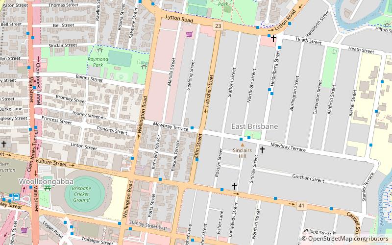
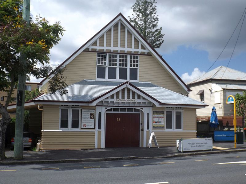
The Mowbraytown Presbyterian Church is a heritage-listed church precinct at 22-28 Mowbray Terrace, East Brisbane, City of Brisbane, Queensland, Australia. It was designed by architect Alexander Brown Wilson and built from 1885 to c. 1916. It is also known as East Brisbane Presbyterian Church. It was added to the Queensland Heritage Register on 22 October 1993. ()
Built: 1885 (141 years ago)Coordinates: 27°28'59"S, 153°2'35"E
Address
East BrisbaneBrisbane
ContactAdd
Social media
Add
Day trips
Mowbraytown Presbyterian Church – popular in the area (distance from the attraction)
Nearby attractions include: South Bank Parklands, The Myer Centre, MacArthur Central, Kangaroo Point Cliffs.
Frequently Asked Questions (FAQ)
Which popular attractions are close to Mowbraytown Presbyterian Church?
Nearby attractions include St Paul's Anglican Church, Brisbane (6 min walk), Raymond Park, Brisbane (8 min walk), Raymond Park, Brisbane (8 min walk), Mowbray Park, Brisbane (9 min walk).
How to get to Mowbraytown Presbyterian Church by public transport?
The nearest stations to Mowbraytown Presbyterian Church:
Ferry
Bus
Train
Ferry
- Mowbray Park Ferry Terminal • Lines: Uqsl-1410 (11 min walk)
- Sydney Street Ferry Terminal • Lines: Chop-400, Uqsl-1410 (15 min walk)
Bus
- Stanley Street at Jurgens Street stop F • Lines: 204 (12 min walk)
- Jurgens Street at Woolloongabba stop C • Lines: 204 (12 min walk)
Train
- Coorparoo (23 min walk)
- Buranda (24 min walk)


