Federation Trail, Melbourne

Gallery (2)
Map
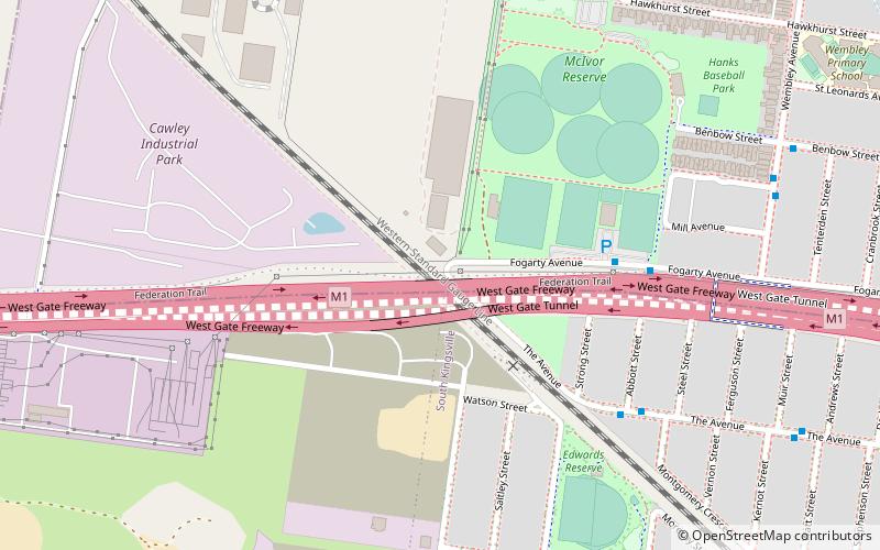
Map
Gallery
Facts and practical information
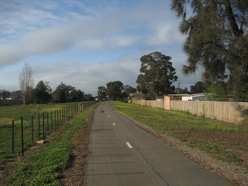
The Federation Trail is a 23-kilometre-long shared use path for cyclists and pedestrians, which mainly follows the heritage-listed Main Outfall Sewer through the western suburbs of Melbourne, Victoria, Australia. There are three bridges spanning across major arterial roads, as well as button-activated traffic light crossings at most other major road-trail intersections. ()
Coordinates: 37°49'26"S, 144°52'1"E
Address
Maribyrnong (Yarraville)Melbourne
ContactAdd
Social media
Add
Getting there by public transportation
Public transportation stops near this location
- Bus
- Train
 Bus
Bus
- Calculate routeFogarty Ave 6 min walk
- Calculate routeAbbott St/The Avenue 7 min walk
- Calculate routeBrunel St/Saltley St 9 min walk
- Calculate routePaxton St/Brunel St 9 min walk
- Calculate routeSpotswood 29 min walk
Maps Melbourne TramsMaps
 Victoria Trains
Melbourne TramsMapsVictoria TrainsDay trips


Frequently Asked Questions (FAQ)
How to get to Federation Trail by public transport?
The nearest stations to Federation Trail:
Bus
Train
Bus
- Fogarty Ave • Lines: 432 (6 min walk)
- Abbott St/The Avenue • Lines: 432 (7 min walk)
Train
- Spotswood (29 min walk)