Main Yarra Trail, Melbourne

Gallery (3)
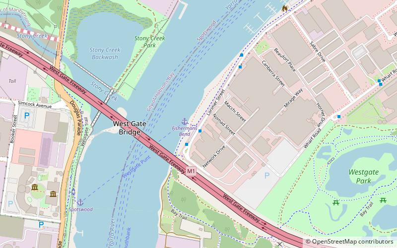
Map
Map
Gallery
Facts and practical information
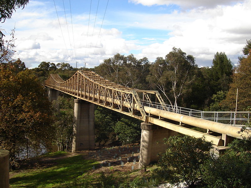
The Yarra Trail is a shared use path for cyclists and pedestrians, which follows the Yarra River through the north eastern suburbs of Melbourne, Victoria, Australia. ()
Coordinates: 37°49'45"S, 144°54'4"E
Address
Port Phillip (Port Melbourne)Melbourne
ContactAdd
Social media
Add
Getting there by public transportation
Public transportation stops near this location
- Bus
- Train
 Bus
Bus
- Calculate routeSardine Street/Lorimer Street 1 min walk
- Calculate routeCanberra Street/Lorimer Street 5 min walk
- Calculate routeFishermans Bend/Wharf Road 9 min walk
- Calculate routeTodd Road/Wharf Road 12 min walk
- Calculate routeSpotswood 22 min walk
- Calculate routeYarraville 29 min walk
- Calculate routeNewport 34 min walk
Maps Melbourne TramsMaps
 Victoria Trains
Melbourne TramsMapsVictoria TrainsDay trips


Frequently Asked Questions (FAQ)
Which popular attractions are close to Main Yarra Trail?
Nearby attractions include West Gate Bridge, Melbourne (9 min walk), Scienceworks, Melbourne (11 min walk), Fishermans Bend, Melbourne (24 min walk).
How to get to Main Yarra Trail by public transport?
The nearest stations to Main Yarra Trail:
Bus
Train
Bus
- Sardine Street/Lorimer Street • Lines: 237 (1 min walk)
- Canberra Street/Lorimer Street • Lines: 237 (5 min walk)
Train
- Spotswood (22 min walk)
- Yarraville (29 min walk)