Tighnabruaich, Brisbane
Map

Map

Facts and practical information
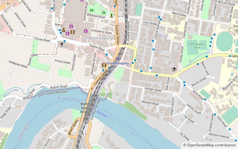
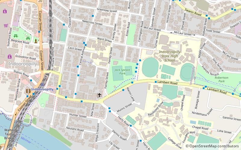
Tighnabruaich is a heritage-listed villa at 203 Clarence Road, Indooroopilly, City of Brisbane, Queensland, Australia. It was designed by Francis Drummond Greville Stanley and built around 1889. It was added to the Queensland Heritage Register on 7 February 2005. ()
Elevation: 82 ft a.s.l.Coordinates: 27°30'14"S, 152°58'34"E
Address
IndooroopillyBrisbane
ContactAdd
Social media
Add
Day trips
Tighnabruaich – popular in the area (distance from the attraction)
Nearby attractions include: Mount Coot-tha Lookout, Indooroopilly Shopping Centre, Thomas Park Bougainvillea Gardens, Royal Exchange Hotel.
Frequently Asked Questions (FAQ)
Which popular attractions are close to Tighnabruaich?
Nearby attractions include Albert Bridge, Brisbane (5 min walk), Indooroopilly Railway Bridge, Brisbane (5 min walk), Jack Pesch Bridge, Brisbane (5 min walk), Walter Taylor Bridge, Brisbane (5 min walk).
How to get to Tighnabruaich by public transport?
The nearest stations to Tighnabruaich:
Train
Bus
Train
- Indooroopilly (2 min walk)
- Chelmer (16 min walk)
Bus
- Indooroopilly Shopping Centre station, platform A • Lines: 444, 460 (8 min walk)
- Moggill Rd at Indooroopilly School, stop 16 • Lines: 444, 460 (16 min walk)


