Graceville Uniting Church, Brisbane
Map

Map

Facts and practical information
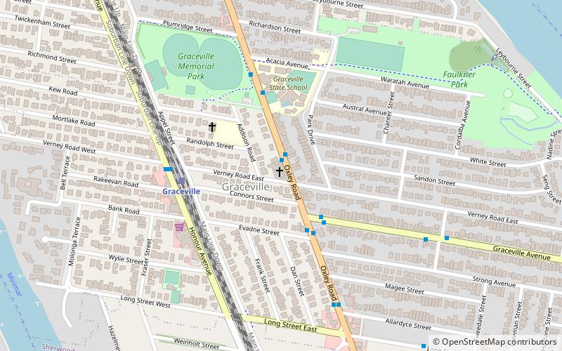
Graceville Uniting Church is a heritage-listed churchyard at 215 Oxley Road, Graceville, City of Brisbane, Queensland, Australia. It was designed and built by Walter Taylor from 1917 to 1951. It was previously known as Graceville Methodist Church. It was added to the Queensland Heritage Register on 24 September 1999. ()
Coordinates: 27°31'14"S, 152°58'44"E
Day trips
Graceville Uniting Church – popular in the area (distance from the attraction)
Nearby attractions include: Lone Pine Koala Sanctuary, Thomas Park Bougainvillea Gardens, Sherwood Arboretum, Albert Bridge.
Frequently Asked Questions (FAQ)
Which popular attractions are close to Graceville Uniting Church?
Nearby attractions include Central Buildings, Brisbane (6 min walk), Graceville Memorial Park, Brisbane (8 min walk), Indooroopilly Island Conservation Park, Brisbane (19 min walk), Sherwood Arboretum, Brisbane (21 min walk).
How to get to Graceville Uniting Church by public transport?
The nearest stations to Graceville Uniting Church:
Train
Bus
Train
- Graceville (5 min walk)
- Chelmer (18 min walk)
Bus
- Moggill Road at Chapel Hill stop 28 • Lines: 444 (40 min walk)


