Western Sydney Parklands, Sydney
Gallery (2)
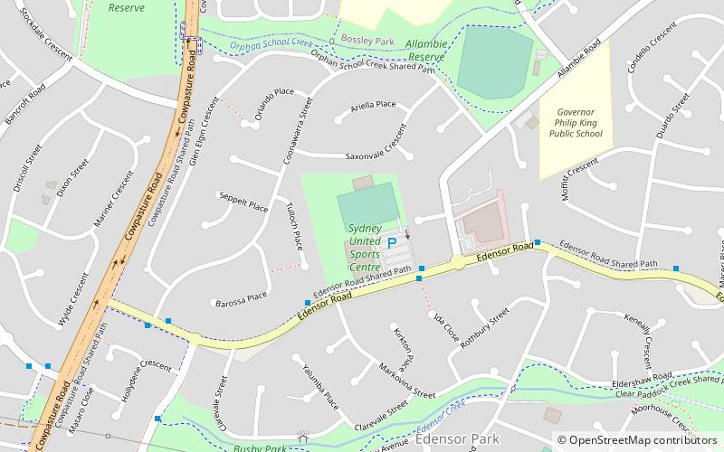
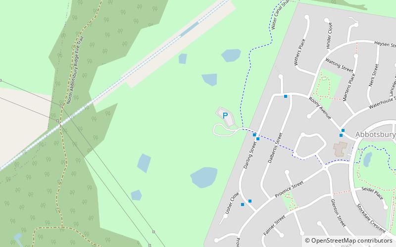
Map
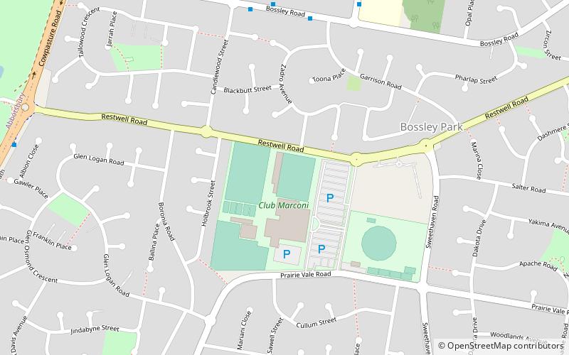
Map
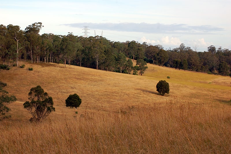
Gallery
Facts and practical information
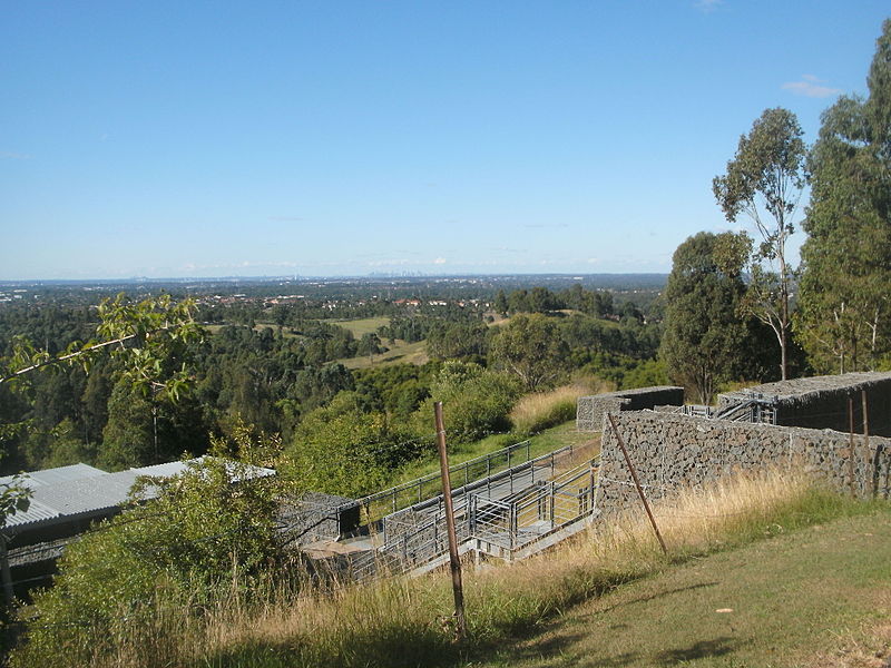
The Western Sydney Parklands is an urban park system and a nature reserve located in Sydney, New South Wales, Australia. The NSW government has spent around $400 million for the park. The park is governed by the NSW National Parks and Wildlife Service and is listed under the National Parks and Wildlife Act 1974. The Parklands begin in the north in the City of Blacktown, cross the City of Fairfield, and end in the City of Liverpool. ()
Opened: 1970 (56 years ago)Created: 1970Established: 2006 (20 years ago)Elevation: 292 ft a.s.l.Coordinates: 33°52'8"S, 150°51'32"E
Public Transportation
Maps Sydney TrainsMaps
 Sydney Light RailMaps
 Sydney Ferries
Sydney TrainsMapsSydney Light RailMapsSydney FerriesDay trips