Marconi Stadium, Sydney
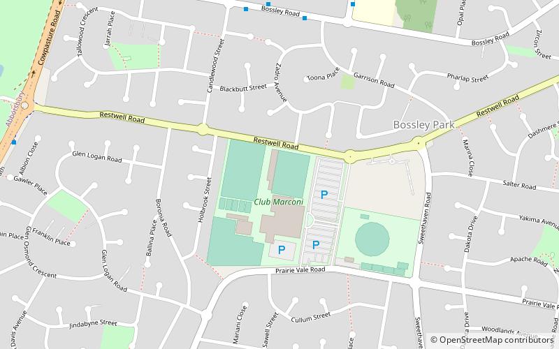
Map
Facts and practical information
Opened: 1972 (54 years ago)Capacity: 9000Coordinates: 33°51'49"S, 150°52'48"E
Address
Marconi Rd, Bossley Park NSW 2176Fairfield (Bossley Park)Sydney
ContactAdd
Social media
Add
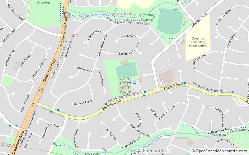
Getting there by public transportation
Public transportation stops near this location
- Bus
 Bus
Bus
- Calculate routeOrphans School T-Way 25 min walk
- Calculate routePrairiewood T-Way 27 min walk
- Calculate routeHorsley T-Way 32 min walk
- Calculate routeClear Paddock T-Way 35 min walk
Maps Sydney TrainsMaps
 Sydney Light RailMaps
 Sydney Ferries
Sydney TrainsMapsSydney Light RailMapsSydney FerriesDay trips


Frequently Asked Questions (FAQ)
How to get to Marconi Stadium by public transport?
The nearest stations to Marconi Stadium:
Bus
Bus
- Orphans School T-Way • Lines: T80 (25 min walk)
- Prairiewood T-Way • Lines: 800, 806, 808, T80 (27 min walk)