Williams' House, Yungaburra
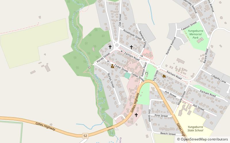
Map

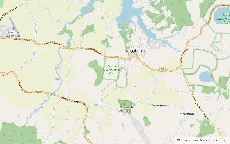
Map

Facts and practical information
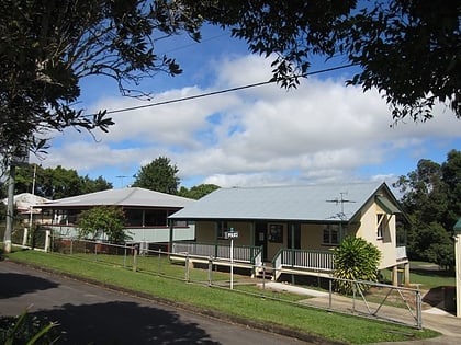
Williams' House is a heritage-listed detached house at 16-20 Cedar Street, Yungaburra, Tablelands Region, Queensland, Australia. It was built from c. 1915 to the 1940s. It was added to the Queensland Heritage Register on 21 October 1992. ()
Coordinates: 17°16'13"S, 145°34'52"E
Address
Yungaburra
ContactAdd
Social media
Add
Day trips
Williams' House – popular in the area (distance from the attraction)
Nearby attractions include: Curtain Fig Tree, St. Patrick's Catholic Church, Yungaburra Community Centre, Curtain Fig National Park.
Frequently Asked Questions (FAQ)
Which popular attractions are close to Williams' House?
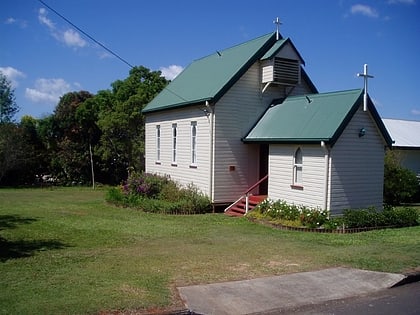
Nearby attractions include Yungaburra Court House, Yungaburra (1 min walk), St. Patrick's Catholic Church, Yungaburra (4 min walk), Yungaburra Community Centre, Yungaburra (4 min walk), St Marks Anglican Church, Yungaburra (4 min walk).


