Curtain Fig National Park

Map
Facts and practical information
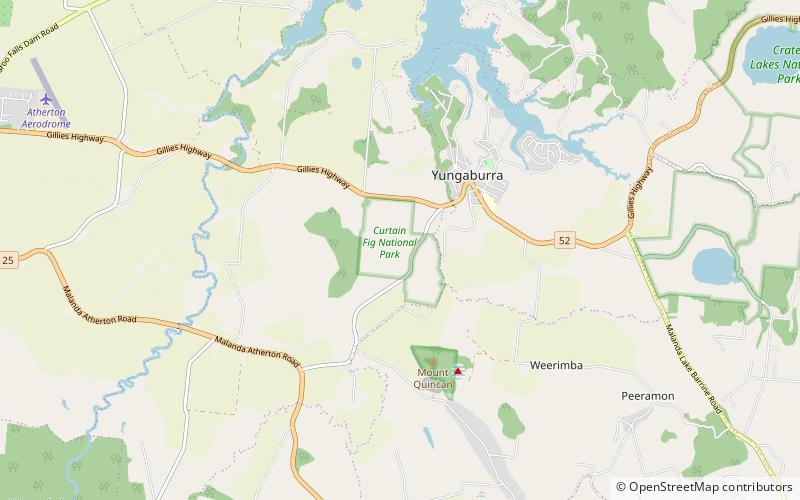
The Curtain Fig National Park is a national park on the Atherton Tableland in Far North Queensland, Australia. The National Park is located near Yungaburra. Its most valued features are its once regionally common, now endangered Mabi forests including a huge strangler fig which attracts up to 100 000 visitors per year, locally known as the Curtain Fig Tree, plus a near threatened, locally endemic tree-kangaroo species i.e. the Lumholtz's tree-kangaroo which finds refuge inside this protected area ()
Alternative names: Area: 12.36 acres (0.0193 mi²)Elevation: 2467 ft a.s.l.Coordinates: 17°16'56"S, 145°34'18"E
Location
Queensland
ContactAdd
Social media
Add
Day trips
Curtain Fig National Park – popular in the area (distance from the attraction)
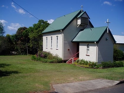
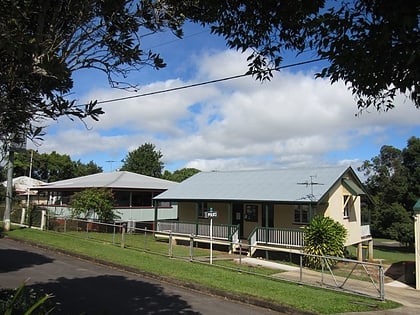
Nearby attractions include: Curtain Fig Tree, St. Patrick's Catholic Church, Mabi forest, Yungaburra Community Centre.


