Lidcombe Oval, Sydney
Map

Map

Facts and practical information
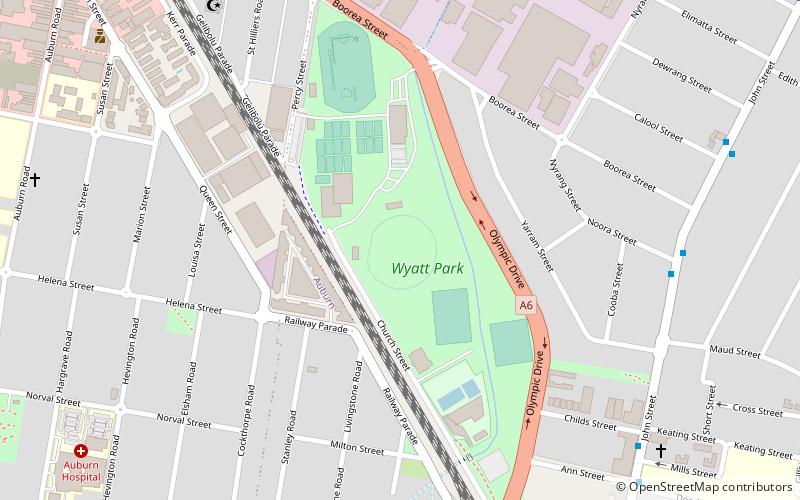
Lidcombe Oval is a playing field and velodrome in the Western Sydney suburb of Lidcombe. It is part of Wyatt Park. It is situated in the Western side of Church Street, on the northern side of the railway line. The outfield has a capacity of more than 20,000 spectators. The infield is used mainly for football matches of various codes. The velodrome hosts track cycling events and has been the home of Lidcombe-Auburn Cycle Club since 1947, and Neo Cycling Club since 2015. ()
Opened: 1933 (93 years ago)Capacity: 20 thous.Coordinates: 33°51'24"S, 151°2'24"E
Address
Auburn (Lidcombe)Sydney
ContactAdd
Social media
Add
Day trips
Lidcombe Oval – popular in the area (distance from the attraction)
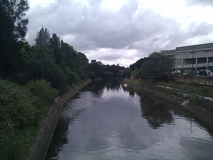
Nearby attractions include: Haslams Creek, Rookwood Cemetery, Lidcombe Shopping Centre, Auburn Gallipoli Mosque.
Frequently Asked Questions (FAQ)
How to get to Lidcombe Oval by public transport?
The nearest stations to Lidcombe Oval:
Bus
Train
Bus
- Childs Street • Lines: M92 (11 min walk)
- Calool Street • Lines: M92 (11 min walk)
Train
- Lidcombe (15 min walk)
- Auburn (17 min walk)

 Sydney Trains
 Sydney Light Rail
 Sydney Ferries


