Jindabyne Dam

Gallery (4)
Map

Map
Gallery
Facts and practical information
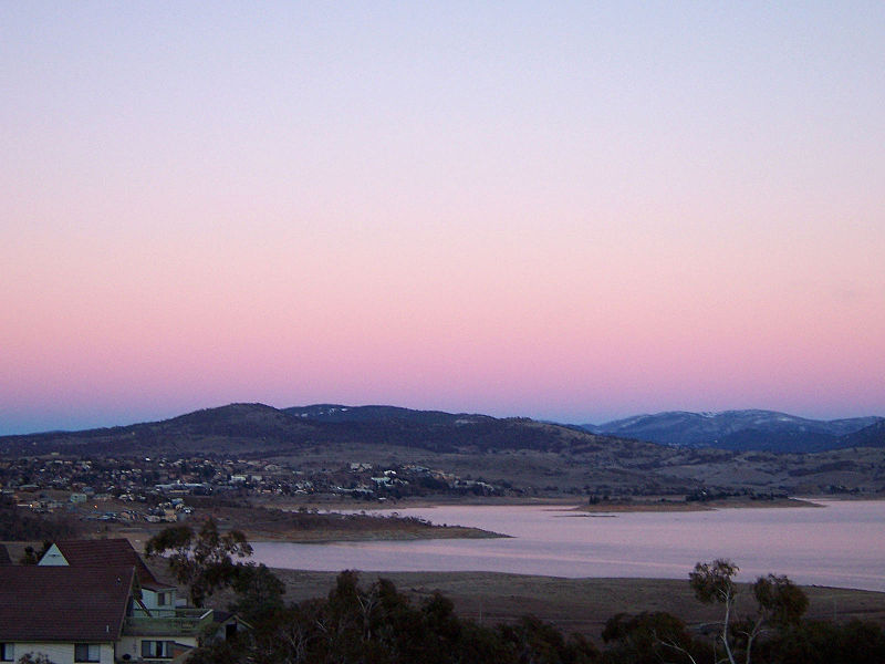
Jindabyne Dam is a major ungated rockfill embankment dam across the Snowy River in the Snowy Mountains of New South Wales, Australia. The dam's main purpose is for the generation of hydro-power and is one of the sixteen major dams that comprise the Snowy Mountains Scheme, a vast hydroelectricity and irrigation complex constructed in south-east Australia between 1949 and 1974 and now run by Snowy Hydro. ()
Opened: 1967 (59 years ago)Length: 1099 ftHeight: 236 ftReservoir area: 11.71 mi²Reservoir depth: 131 ftCoordinates: 36°25'60"S, 148°37'59"E
Location
New South Wales
ContactAdd
Social media
Add
Day trips

