Alpine Way

Gallery (1)
Map
Map
Facts and practical information
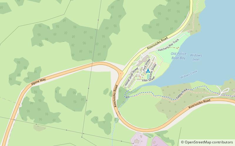
The Alpine Way is a 121-kilometre rural road located in the Snowy Mountains region of New South Wales, Australia. The road connects Jindabyne in the east to the New South Wales / Victorian border in the west, crossing the Murray River, near Bringenbrong / Upper Towong. The route does not carry an official shield designation. ()
Location
New South Wales
ContactAdd
Social media
Add
Day trips

