M2 cycleway, Sydney
Map
Facts and practical information
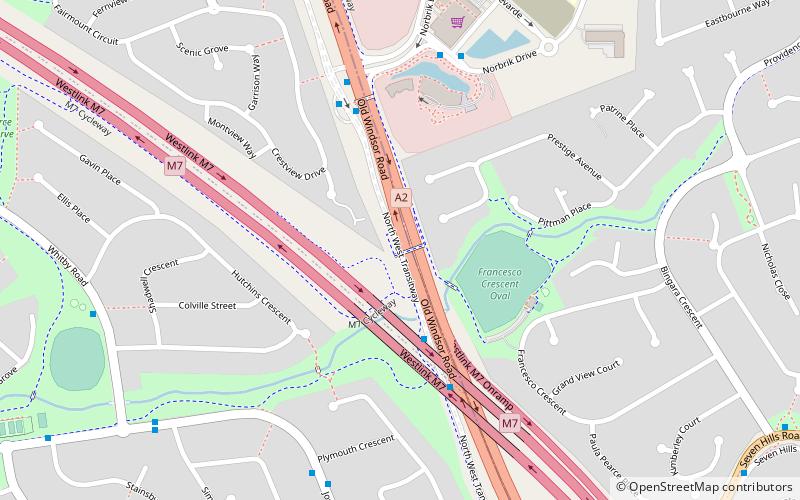
The M2 cycleway is a predominantly on road 22-kilometre-long cycleway generally aligned with the M2 motorway in the Hills District of Sydney, New South Wales, Australia. The north-western terminus of the cycleway is in Glenwood and the eastern terminus is in North Ryde. As the M2 does not have a separate cycle lane or path, the cycleway comprises the breakdown lane of the roadway. ()
Length: 13.67 miCoordinates: 33°45'2"S, 150°57'4"E
Address
Blacktown (Glenwood)Sydney
ContactAdd
Social media
Add
Getting there by public transportation
Public transportation stops near this location
- Metro
- Bus
 Metro
Metro
- Calculate routeTroubadour T-Way 4 min walk
- Calculate routeNorbrik T-Way 5 min walk
- Calculate routeBanks South 10 min walk
- Calculate routeNorwest Private Hospital 12 min walk
- Calculate routeNorwest 35 min walk
Maps Sydney TrainsMaps
 Sydney Light RailMaps
 Sydney Ferries
Sydney TrainsMapsSydney Light RailMapsSydney FerriesDay trips


Frequently Asked Questions (FAQ)
How to get to M2 cycleway by public transport?
The nearest stations to M2 cycleway:
Bus
Metro
Bus
- Troubadour T-Way • Lines: 607X, 663, 664, 665 (4 min walk)
- Norbrik T-Way • Lines: 607X, 663, 664, 665 (5 min walk)
Metro
- Norwest • Lines: Sydney Metro Northwest (35 min walk)