Kellyville Village, Sydney
Map
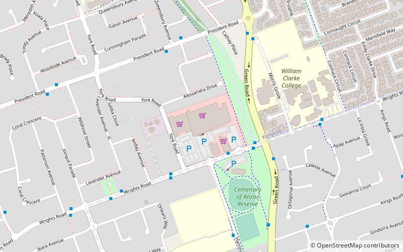
Map

Facts and practical information
Kellyville is a suburb of Greater Western Sydney, in the state of New South Wales, Australia 36 kilometres north-west of the Sydney central business district in the local government area of The Hills Shire. It is part of the Hills District region. ()
Coordinates: 33°42'48"S, 150°58'19"E
Day trips
Kellyville Village – popular in the area (distance from the attraction)
Nearby attractions include: Castle Towers, Rouse Hill Town Centre, Norwest Business Park, Hillsong Church.
Frequently Asked Questions (FAQ)
How to get to Kellyville Village by public transport?
The nearest stations to Kellyville Village:
Bus
Metro
Bus
- Wrights Rd Opp Wrights Road Community Centre • Lines: 601, 633 (4 min walk)
- Wrights Road Community Centre, Wrights Rd • Lines: T71 (4 min walk)
Metro
- Hills Showground • Lines: Sydney Metro Northwest (35 min walk)

 Sydney Trains
 Sydney Light Rail
 Sydney Ferries


