Lerderderg River diversion tunnel, Lerderderg State Park

Gallery (1)
Map
Map
Facts and practical information
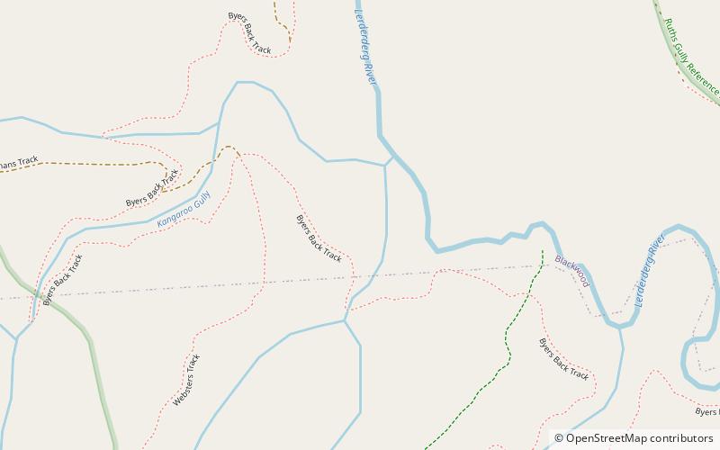
The Lerderderg River diversion tunnel, known as The Tunnel, is located on the Lerderderg River approximately 25 km north-west of Bacchus Marsh, Victoria, Australia. The river flows around a spur in a horseshoe bend. The tunnel was driven through the spur diverting the river and allowing the exposed river bed to be sluiced for alluvial gold. ()
Coordinates: 37°29'10"S, 144°20'2"E
Address
Lerderderg State Park
ContactAdd
Social media
Add
Day trips
Lerderderg River diversion tunnel – popular in the area (distance from the attraction)
Nearby attractions include: Wombat State Forest.
