Wombat State Forest
Map

Map

Facts and practical information
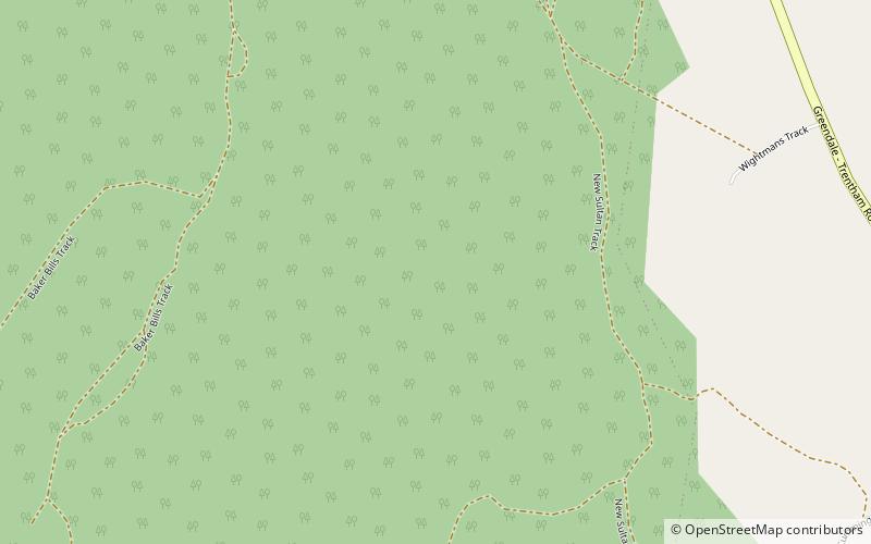
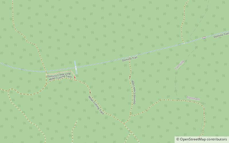
The Wombat State Forest is located 50 kilometres west of Melbourne, Victoria, Australia, between Woodend and Daylesford, at the Great Dividing Range. The forest is approximately 70,000 hectares in size and sits upon Ordovician or Cenozoic sediments. The Bullarook Wombat State Forest was proclaimed in 1871. ()
Established: 1871 (155 years ago)Coordinates: 37°27'0"S, 144°16'59"E
Location
Victoria
ContactAdd
Social media
Add
Day trips
Wombat State Forest – popular in the area (distance from the attraction)
Nearby attractions include: Lerderderg River diversion tunnel, Catherine Abel Gallery, Domino Trail, Bullarto.


