Boundary Falls, Gibraltar Range National Park

Gallery (1)
Map
Map
Facts and practical information
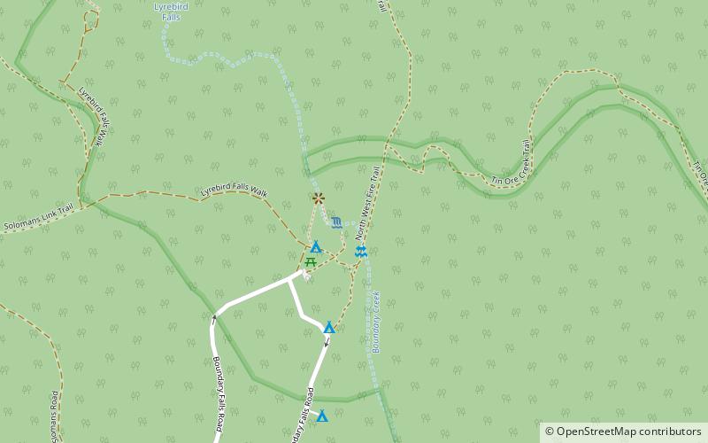
The Boundary Falls is a waterfall that is located within the Gibraltar Range National Park, adjacent to the Gwydir Highway in the New England region of New South Wales, Australia. ()
Coordinates: 29°31'60"S, 152°15'0"E