Canterbury, Sydney
Map
Gallery

Facts and practical information
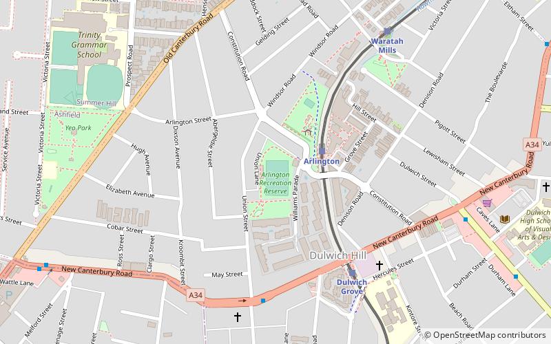
Canterbury is a suburb extending across south-western Sydney and the Inner West, in the state of New South Wales, Australia. Canterbury is located 10.5 kilometres south-west of the Sydney central business district in the City of Canterbury-Bankstown. ()
Address
CanterburySydney
ContactAdd
Social media
Add
Day trips
Canterbury – popular in the area (distance from the attraction)
Nearby attractions include: Canterbury Olympic Ice Rink, Wolli Creek Regional Park, Ashfield Reservoir, Arlington Oval.
Frequently Asked Questions (FAQ)
How to get to Canterbury by public transport?
The nearest stations to Canterbury:
Train
Bus
Train
- Canterbury (6 min walk)
- Campsie (19 min walk)
Bus
- Campsie Station, South Pde Terminus • Lines: 412 (17 min walk)
- Campsie Station • Lines: 410 (18 min walk)


 Sydney Trains
 Sydney Light Rail
 Sydney Ferries


