Wolli Creek Regional Park, Sydney

Gallery (3)
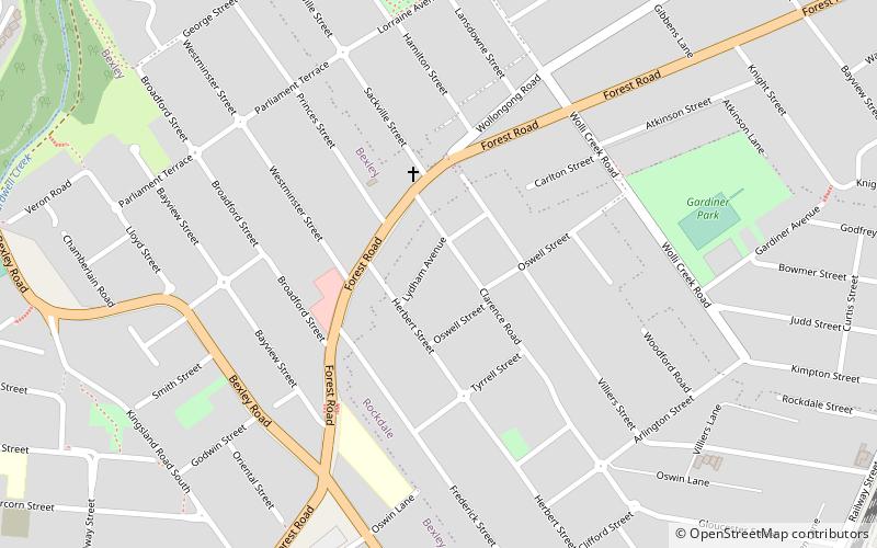
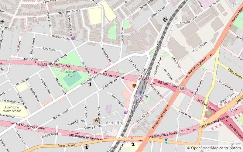
Map

Map
Gallery
Facts and practical information
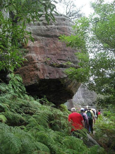
The Wolli Creek Regional Park is a 50 hectares regional park, located adjacent to Wolli Creek within the Wolli Creek Valley, between Bexley North and Tempe in south-west Sydney, New South Wales, Australia. ()
Elevation: 66 ft a.s.l.Coordinates: 33°55'49"S, 151°7'44"E
Getting there by public transportation
Public transportation stops near this location
- Bus
- Train
 Bus
Bus
- Calculate routeBardwell Park 7 min walk
- Calculate routeTurrella 17 min walk
- Calculate routeBexley North 26 min walk
- Calculate routeArncliffe 29 min walk
- Calculate routeBexley North Station 27 min walk
- Calculate routeBarnsbury Grove 29 min walk
- Calculate routeClemton Park Shops 30 min walk
- Calculate routeTomkins Street 32 min walk
Maps Sydney TrainsMaps
 Sydney Light RailMaps
 Sydney Ferries
Sydney TrainsMapsSydney Light RailMapsSydney FerriesDay trips


Frequently Asked Questions (FAQ)
How to get to Wolli Creek Regional Park by public transport?
The nearest stations to Wolli Creek Regional Park:
Train
Bus
Train
- Bardwell Park (7 min walk)
- Turrella (17 min walk)
Bus
- Bexley North Station • Lines: 410 (27 min walk)
- Barnsbury Grove • Lines: 410 (29 min walk)