Walter Burley Griffin Incinerator, Ipswich


Facts and practical information
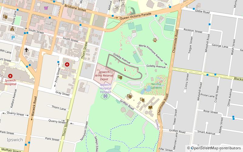
Nestled in the city of Ipswich, Australia, the Walter Burley Griffin Incinerator stands as a testament to both historical preservation and cultural adaptation. Originally designed as a functional incinerator in 1936 by the renowned American architect Walter Burley Griffin, this unique structure has been repurposed into a vibrant theatre space, blending industrial heritage with contemporary arts.
The building's architectural significance lies in its Art Deco style and the innovative use of reinforced concrete, which was a relatively new material at the time. Though it ceased operation as an incinerator in the 1960s, the structure was saved from demolition by local advocates who recognized its cultural and historical value.
In its new life as a theatre, the Walter Burley Griffin Incinerator provides an intimate setting for a variety of performances, from plays to musical recitals, becoming a cherished venue for local artists and audiences. The adaptive reuse of the building has not only preserved Griffin's architectural legacy but also contributed to the cultural fabric of Ipswich by providing a unique space for creative expression.
Despite its transformation, the building retains many of its original design features, allowing visitors to appreciate the industrial past while enjoying contemporary performances. The theatre is an integral part of Ipswich's cultural scene, offering a schedule of events throughout the year that caters to a wide range of tastes.
IpswichIpswich
Walter Burley Griffin Incinerator – popular in the area (distance from the attraction)
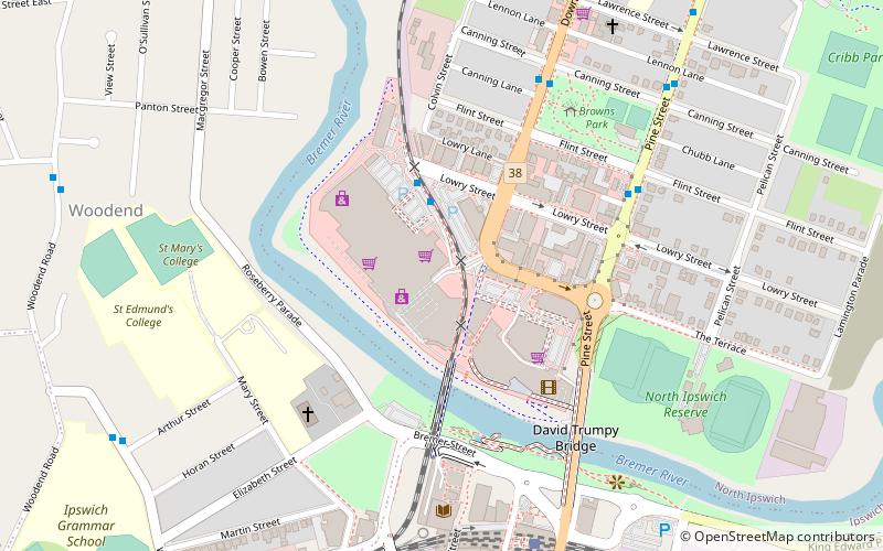
Nearby attractions include: Riverlink Shopping Centre, Queens Park, Sandy Gallop Golf Course and Function Centre, Soldiers' Memorial Hall.
Frequently Asked Questions (FAQ)
Which popular attractions are close to Walter Burley Griffin Incinerator?
How to get to Walter Burley Griffin Incinerator by public transport?
Bus
- Queen Victoria Parade at Ipswich Special School • Lines: 500, 502 (7 min walk)
- Pring Street at St Andrews Hospital • Lines: 503 (8 min walk)
Train
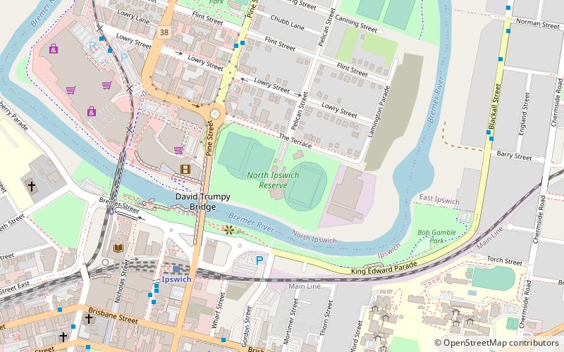
- Ipswich (16 min walk)
- East Ipswich (21 min walk)


