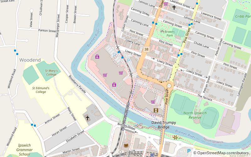
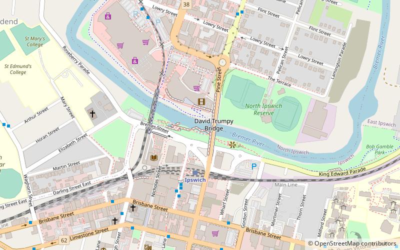
Riverlink Shopping Centre, Ipswich
Facts and practical information
Nestled in the heart of Ipswich, Queensland, Riverlink Shopping Centre stands as a bustling hub of retail activity and community engagement. Opened in 2007, this contemporary shopping destination spans a generous area, offering a diverse range of stores and services to cater to the needs of the local population and visitors alike.
Riverlink Shopping Centre is home to more than 150 stores, including major department stores, supermarkets, and an array of specialty shops. From fashion and beauty to home goods and electronics, the centre provides a comprehensive shopping experience. It also features a cinema complex, offering entertainment options for families and film enthusiasts.
The centre is strategically designed with user convenience in mind. It boasts ample parking spaces and is well serviced by public transport, making it easily accessible for shoppers. Riverlink's dining precinct presents a variety of eateries, from fast food to casual dining restaurants, ensuring that visitors can refuel and unwind during their shopping excursions.
As a community-oriented venue, Riverlink Shopping Centre frequently hosts events and activities that cater to all ages. Its location at the junction of the Bremer River and Brisbane River provides a scenic backdrop, enhancing the overall shopping and leisure experience.
- Bus
- Train
 Bus
Bus
- Calculate routeRiverlink stop A 3 min walk
- Calculate routeRiverlink stop B 3 min walk
- Calculate routePine Street near Flint Street 7 min walk
- Calculate routeDowns Street at Browns Park 7 min walk
- Calculate routeIpswich 9 min walk
- Calculate routeNorth Ipswich 18 min walk
- Calculate routeThomas Street 24 min walk
- Calculate routeEast Ipswich 26 min walk


Frequently Asked Questions (FAQ)
When is Riverlink Shopping Centre open?
- Monday 9 am - 5:30 pm
- Tuesday 9 am - 5:30 pm
- Wednesday 9 am - 5:30 pm
- Thursday 9 am - 9 pm
- Friday 9 am - 5:30 pm
- Saturday 9 am - 5 pm
- Sunday 10 am - 4 pm
Which popular attractions are close to Riverlink Shopping Centre?
How to get to Riverlink Shopping Centre by public transport?
Bus
- Riverlink stop A • Lines: 500, 502, 503, 506, 509, 512, 529 (3 min walk)
- Riverlink stop B • Lines: 514, 515 (3 min walk)
Train
- Ipswich (9 min walk)
- North Ipswich (18 min walk)