Central Synagogue, Sydney
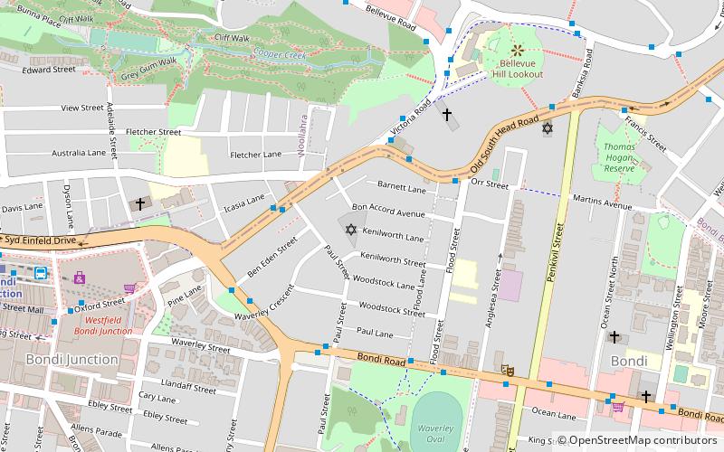
Map
Facts and practical information
The Central Synagogue is an Modern Orthodox Jewish synagogue located in the Sydney suburb of Bondi Junction, New South Wales, Australia. The synagogue is the largest synagogue in the Southern hemisphere and has the largest Jewish congregation in Australasia. It is located in Bon Accord Avenue and extends back to Kenilworth Street. It was constructed at its present location in 1960 after originally being located in Paddington and then Bondi. It was burned down in 1994 by a devastating fire caused by an electrical fault. The synagogue was rebuilt and reopened in 1998. Hineni is the official youth movement of Central Synagogue. ()
Completed: 1912 (114 years ago)Capacity: 4000Coordinates: 33°53'25"S, 151°15'25"E
Address
15 Bon Accord AvenueEastern Suburbs (Bondi Junction)Sydney 2022
Contact
+61 2 9389 5622
Social media
Add
Getting there by public transportation
Public transportation stops near this location
- Bus
- Train
 Bus
Bus
- Calculate routeOld South Head Rd At Paul St 3 min walk
- Calculate routeBondi Junction 13 min walk
Maps Sydney TrainsMaps
 Sydney Light RailMaps
 Sydney Ferries
Sydney TrainsMapsSydney Light RailMapsSydney FerriesDay trips


Frequently Asked Questions (FAQ)
Which popular attractions are close to Central Synagogue?
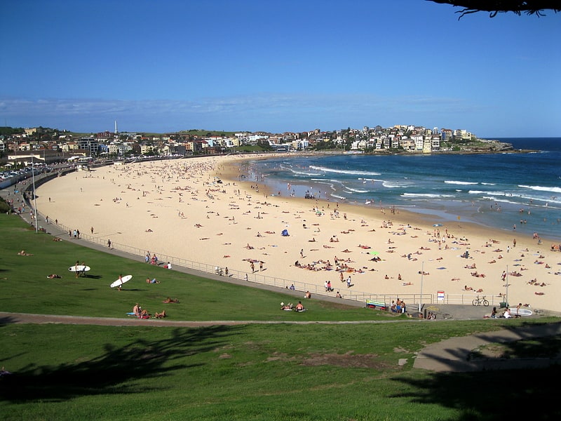
Nearby attractions include Yeshivah Centre, Sydney (5 min walk), Syd Einfeld Drive, Sydney (14 min walk), Mary Immaculate Catholic Church, Sydney (19 min walk), Sydney/Bondi Beach, Sydney (22 min walk).
How to get to Central Synagogue by public transport?
The nearest stations to Central Synagogue:
Bus
Train
Bus
- Old South Head Rd At Paul St • Lines: 379 (3 min walk)
Train
- Bondi Junction (13 min walk)