Sydney/Bondi Beach, Sydney
Map
Gallery
Facts and practical information
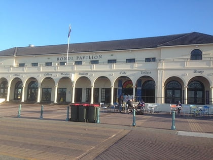
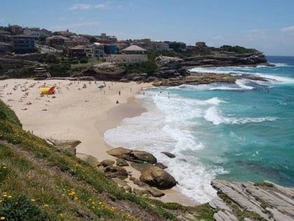
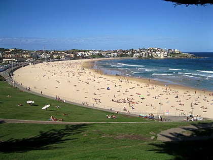
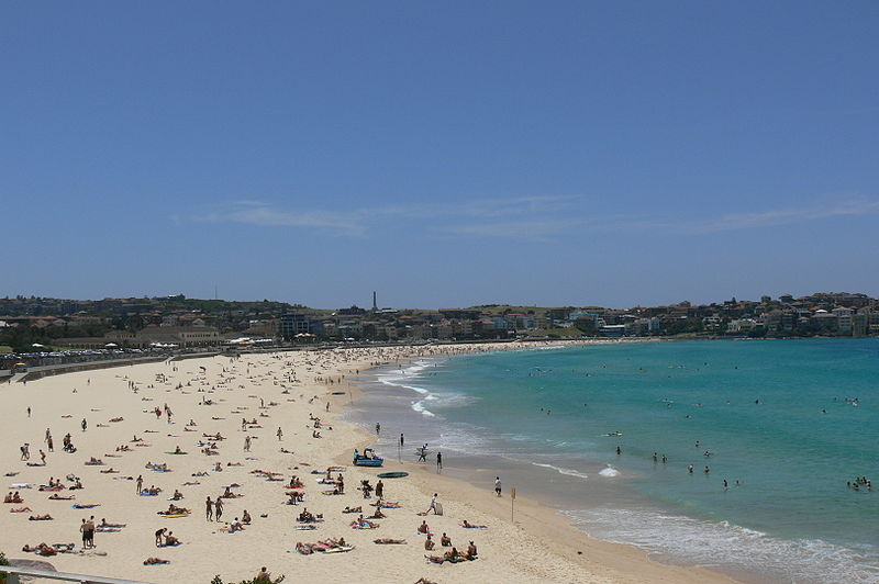
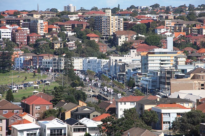
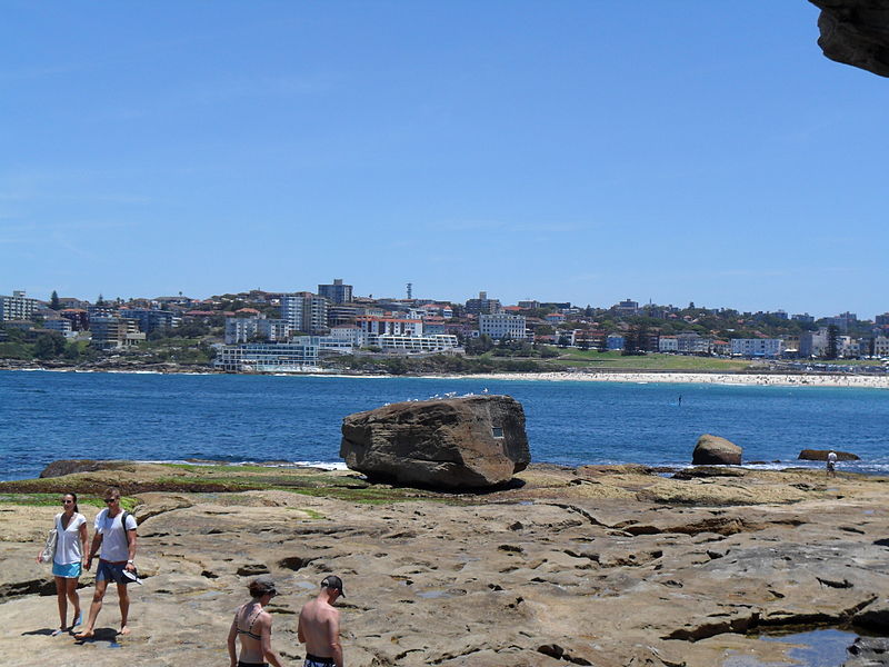
Bondi Beach is a popular beach and the name of the surrounding suburb in Sydney, New South Wales, Australia. Bondi Beach is located 7 km east of the Sydney central business district, in the local government area of Waverley Council, in the Eastern Suburbs. It has a population of 11,656 residents. Its postcode is 2026. Bondi, North Bondi, and Bondi Junction are neighboring suburbs. Bondi Beach is one of the most visited tourist sites in Australia. ()
Day trips
Sydney/Bondi Beach – popular in the area (distance from the attraction)
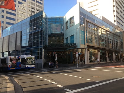
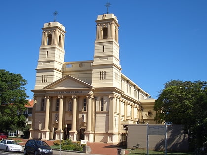
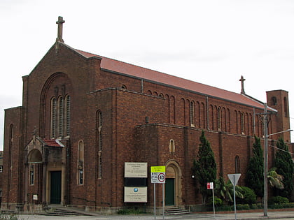
Nearby attractions include: Westfield Bondi Junction, Mary Immaculate Catholic Church, St Anne's Catholic Church, Bondi Beach Cultural Landscape.
Frequently Asked Questions (FAQ)
Which popular attractions are close to Sydney/Bondi Beach?
Nearby attractions include Bondi Beach Post Office, Sydney (2 min walk), Bondi Beach Cultural Landscape, Sydney (7 min walk), St Anne's Catholic Church, Sydney (12 min walk), Little Boy Lost Sculpture, Sydney (17 min walk).
How to get to Sydney/Bondi Beach by public transport?
The nearest stations to Sydney/Bondi Beach:
Bus
Bus
- Glenayr Av At Hall St • Lines: 379 (5 min walk)
- O'Brien St Opp Barracluff Av • Lines: 379 (8 min walk)


 Sydney Trains
 Sydney Light Rail
 Sydney Ferries