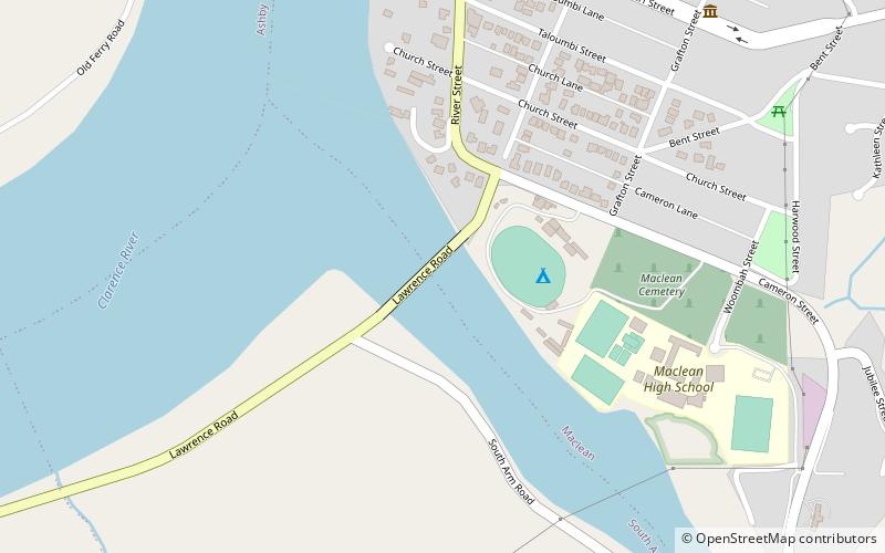
McFarlane Bridge, Maclean
Map

Map

Facts and practical information
The McFarlane Bridge is a road bridge that carries Lawrence Road across the south arm of the Clarence River at Maclean, New South Wales, Australia. The bridge connects the communities of Maclean and Woodford Island. ()
Opened: 1906 (120 years ago)Coordinates: 29°27'54"S, 153°11'49"E
Address
Maclean
ContactAdd
Social media
Add
Day trips
McFarlane Bridge – popular in the area (distance from the attraction)
Nearby attractions include: Harwood Bridge.

