Harwood Bridge
Map

Gallery

Facts and practical information
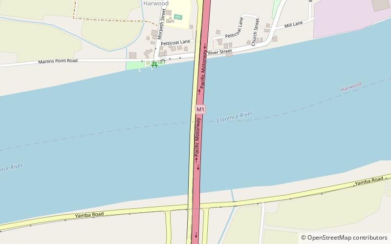
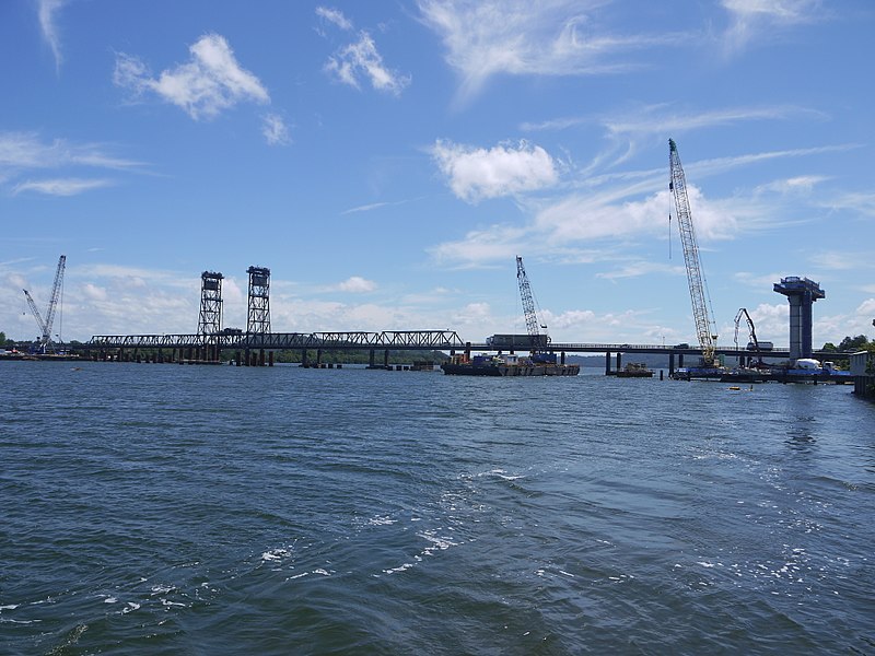
The Harwood Bridge is a two-lane steel truss bridge which carried the Pacific Highway over the Clarence River in the Northern Rivers region of New South Wales, Australia from 1966 until 2019, when it was replaced by a four-lane 1.5-kilometre-long concrete bridge, located 20 metres to its east. The Harwood Bridge has been retained to provide access to Harwood Island. ()
Opened: 20 August 1966 (59 years ago)Length: 2913 ftCoordinates: 29°25'48"S, 153°14'28"E
Location
New South Wales
ContactAdd
Social media
Add
Day trips
Harwood Bridge – popular in the area (distance from the attraction)
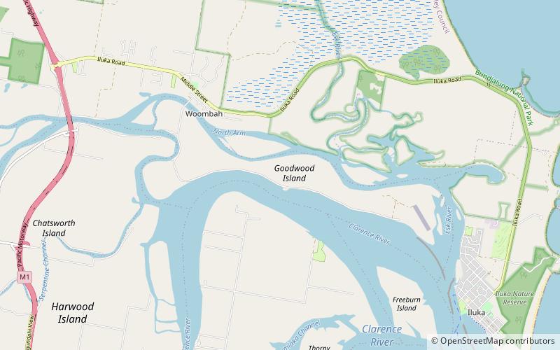
Nearby attractions include: McFarlane Bridge, Goodwood Island.


