Veil of Trees, Sydney
Map

Gallery
Facts and practical information
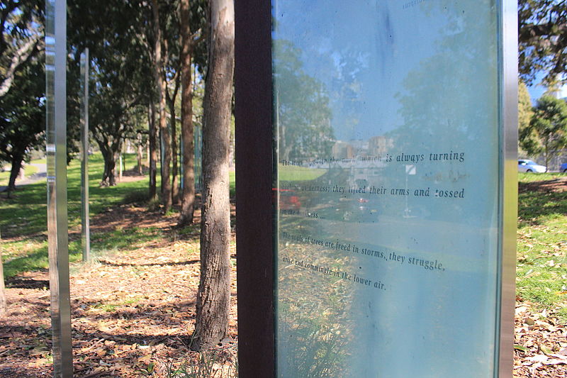
Veil of Trees is an art installation within the grounds of the Royal Botanical Gardens in Sydney. The work was designed by Janet Laurence and Jisuk Han as part of the Sydney Sculpture Walk Program in 1999, to highlight the indigenous botanical history of the site. It consists of 21 glass panels among one hundred red forest gums which run along a one hundred metre grassed ridge between two parallel roads. ()
Coordinates: 33°51'55"S, 151°13'12"E
Day trips
Veil of Trees – popular in the area (distance from the attraction)
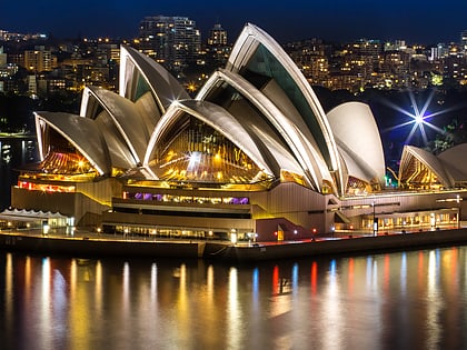
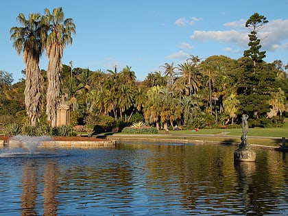
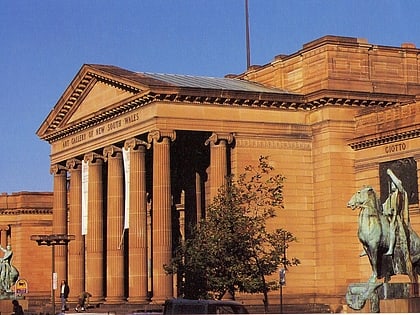
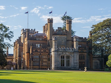
Nearby attractions include: Sydney Opera House, Royal Botanic Garden, Art Gallery of New South Wales, Government House.
Frequently Asked Questions (FAQ)
Which popular attractions are close to Veil of Trees?
Nearby attractions include Finger Wharf, Sydney (5 min walk), Macquarie Culvert, Sydney (5 min walk), Royal Botanic Garden, Sydney (7 min walk), Farm Cove, Sydney (8 min walk).
How to get to Veil of Trees by public transport?
The nearest stations to Veil of Trees:
Bus
Ferry
Train
Light rail
Bus
- Andrew Boy Charlton Pool (5 min walk)
- Royal Botanic Gardens • Lines: 200 (11 min walk)
Ferry
- Circular Quay Wharf 2 • Lines: F2, F7 (15 min walk)
- Circular Quay Wharf 3 • Lines: F1 (15 min walk)
Train
- Martin Place (15 min walk)
- Circular Quay (16 min walk)
Light rail
- Circular Quay • Lines: L2, L3 (16 min walk)
- Bridge Street • Lines: L2, L3 (19 min walk)

 Sydney Trains
 Sydney Light Rail
 Sydney Ferries