Kings Cross Hotel, Sydney
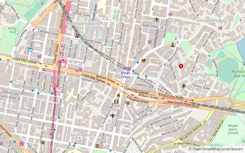
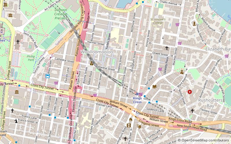
Map
Facts and practical information
Kings Cross Centre is a shopping centre in Kings Cross, a locality in the inner-city suburb of Potts Point. It is located underneath the Coca-Cola billboard and Zenith residential apartments. ()
Coordinates: 33°52'30"S, 151°13'19"E
Address
244-248 William StreetEastern Suburbs (King's Cross)Sydney
Contact
+61 2 9331 9900
Social media
Add
Day trips
Kings Cross Hotel – popular in the area (distance from the attraction)
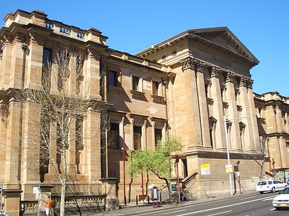
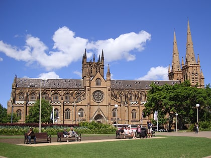
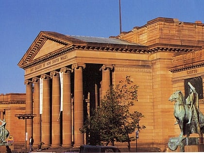
Nearby attractions include: Australian Museum, St Mary's Cathedral, Art Gallery of New South Wales, Cook and Phillip Park Aquatic and Fitness Centre.
Frequently Asked Questions (FAQ)
Which popular attractions are close to Kings Cross Hotel?
Nearby attractions include Juanita Nielsen's House, Sydney (3 min walk), William Street, Sydney (3 min walk), Kings Cross, Sydney (4 min walk), Old Fitzroy Theatre, Sydney (4 min walk).
How to get to Kings Cross Hotel by public transport?
The nearest stations to Kings Cross Hotel:
Train
Bus
Light rail
Ferry
Train
- Kings Cross (1 min walk)
- St James (17 min walk)
Bus
- Kellett Street • Lines: 200 (3 min walk)
- Domain Terminus (10 min walk)
Light rail
- Town Hall • Lines: L2, L3 (23 min walk)
- Qvb • Lines: L2, L3 (23 min walk)
Ferry
- Circular Quay Wharf 2 • Lines: F2, F7 (30 min walk)
- Circular Quay Wharf 3 • Lines: F1 (30 min walk)
 Sydney Trains
 Sydney Light Rail
 Sydney Ferries