Cheviot Beach
#900 among destinations in Australia


Facts and practical information
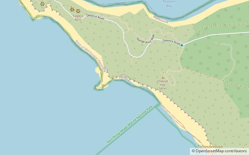
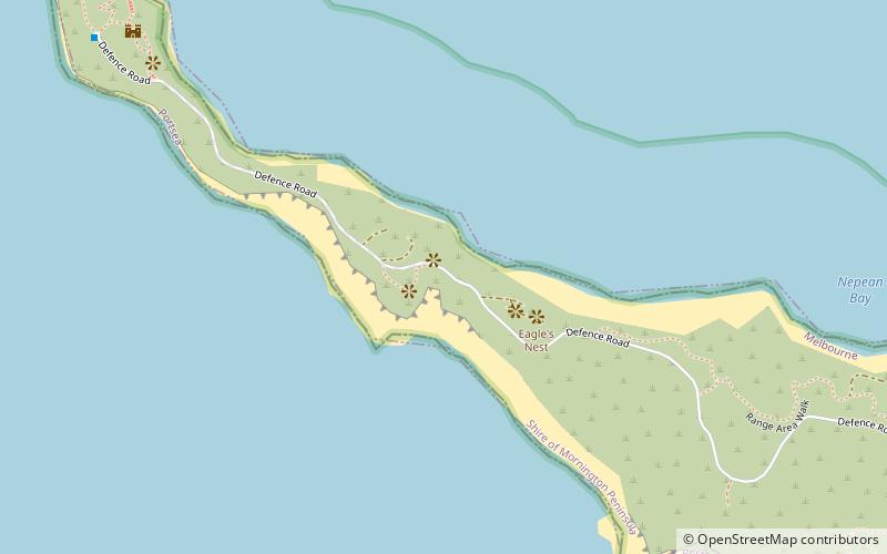
Cheviot Beach is a beach near Point Nepean in Victoria, Australia. It was named after the SS Cheviot, which broke up and sank nearby with the loss of 35 lives on 20 October 1887. ()
VictoriaAustralia
Cheviot Beach – popular in the area (distance from the attraction)
Nearby attractions include: Point Lonsdale Lighthouse, Fort Nepean, Queenscliffe Maritime Museum, Queenscliff High Light.
 Lighthouse
Point Lonsdale Lighthouse
77 min walk • Standing sentinel at the entrance to Port Phillip Bay, the Point Lonsdale Lighthouse in Australia is a beacon of maritime safety and historical significance. Erected in 1902, this imposing structure has been guiding vessels safely through the treacherous waters known...
 Historical place, View point, Forts and castles
Fort Nepean
21 min walk • Fort Nepean, located at the tip of the Mornington Peninsula in Victoria, Australia, is a historical military fortress that played a significant role in the country's defense system. Situated within the Point Nepean National Park, this former coastal defense site marks...
 Museum, Military museum, Maritime museum
Queenscliffe Maritime Museum, Queenscliff
83 min walk • The Queenscliffe Maritime Museum is a regional maritime museum in the town of Queenscliff at the entrance from Bass Strait to the bay of Port Phillip in Victoria, south-eastern Australia. It lies within walking distance of the Searoad ferry terminal.
 Specialty museum, Museum, Vernacular architecture
Queenscliff High Light, Queenscliff
70 min walk • The Queenscliff High Light, also variously known as the Black Lighthouse, Fort Queenscliff Lighthouse or Shortland Bluff Light, stands in the grounds of Fort Queenscliff in Queenscliff, Victoria, Australia.
 Museum, History museum
Historical Museum, Queenscliff
77 min walk • The Queenscliffe Historical Museum is a regional cultural history museum in the town of Queenscliff, Victoria, Australia. The museum is part of the Museum Accreditation Program.
 Museum, Military museum
Fort Queenscliff, Queenscliff
81 min walk • Fort Queenscliff, in Victoria, Australia, dates from 1860 when an open battery was constructed on Shortland's Bluff to defend the entrance to Port Phillip.
 Historical place, Forts and castles
Fort Pearce
11 min walk • Fort Pearce is a former defensive facility occupying part of Point Nepean, Victoria, Australia. It was part of a network of fortifications, commanded from Fort Queenscliff, protecting the narrow entrance to Port Phillip.
 Vernacular architecture, Lighthouse
Queenscliff Low Light, Queenscliff
67 min walk • The Queenscliff Low Light, also known as the Queenscliff White Lighthouse, is a lighthouse in the township of Queenscliff in the Borough of Queenscliffe, Victoria, Australia, at the eastern end of the Bellarine Peninsula.
 Nature, Natural attraction, Lake
Lake Victoria
120 min walk • Lake Victoria is a 139-hectare shallow saline lake on the Bellarine Peninsula, Victoria in Australia, close to the township of Point Lonsdale and part of the Lonsdale Lakes Nature Reserve administered by Parks Victoria.
 Protected area
Point Nepean, Mornington Peninsula and Western Port Biosphere Reserve
19 min walk • Point Nepean marks the southern point of The Rip and the most westerly point of the Mornington Peninsula, in Victoria, Australia.
 38°16'8"S • 144°39'40"E
Queenscliff Gallery & Workshop - QG&W, Queenscliff
75 min walk • Museum, Art gallery, Classes and workshops
