Sublime Point

Gallery (1)
Map

Map
Facts and practical information
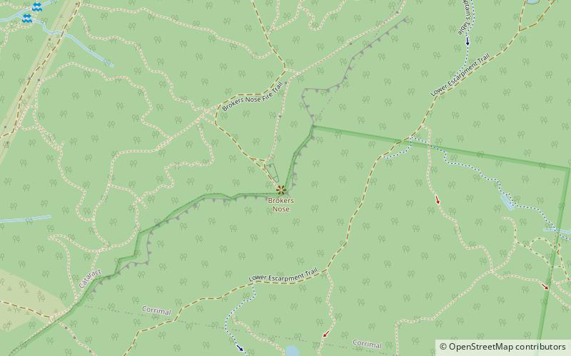
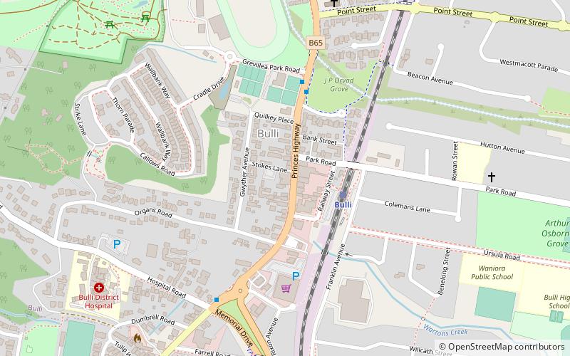
Sublime Point is a feature of the Illawarra Escarpment west of Austinmer. It is a summit on the plateau edge where the escarpment turns to go in a more northerly direction from a more northeasterly direction. The surrounding parkland area was proclaimed in 1925 by the NSW Government. ()
Elevation: 837 ft a.s.l.Coordinates: 34°17'57"S, 150°55'30"E
Location
New South Wales
ContactAdd
Social media
Add
Day trips