Illawarra Escarpment State Conservation Area
Map

Map

Facts and practical information
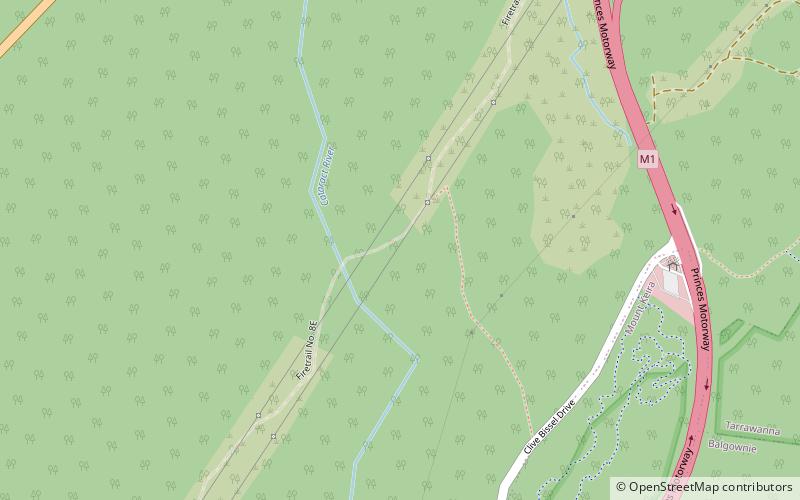
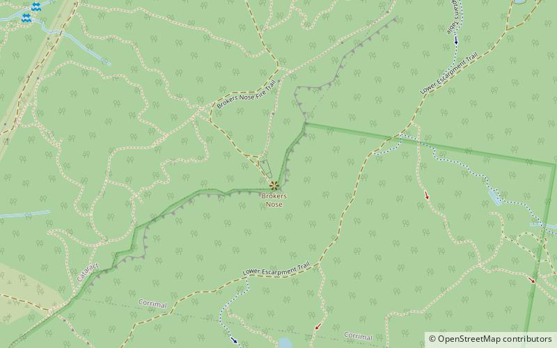
The Illawarra Escarpment State Conservation Area is a protected area located west of Wollongong in eastern Australia. The conservation area is a popular location for recreation, including bush walking, scenic viewing, picnicking, camping, bird watching, rock climbing and horse riding. The park comprises six separate sections extending over 40 kilometres, from Stanwell Park in the north to Horsely in the south. ()
Elevation: 1148 ft a.s.l.Coordinates: 34°22'28"S, 150°51'19"E
Location
New South Wales
ContactAdd
Social media
Add
Day trips
Illawarra Escarpment State Conservation Area – popular in the area (distance from the attraction)
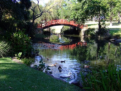
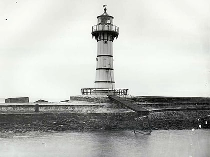
Nearby attractions include: Wollongong Entertainment Centre, Wollongong Central, Wollongong Botanic Garden, Wollongong Breakwater Lighthouse.


