Derwent Park Road, Hobart
Map
Facts and practical information
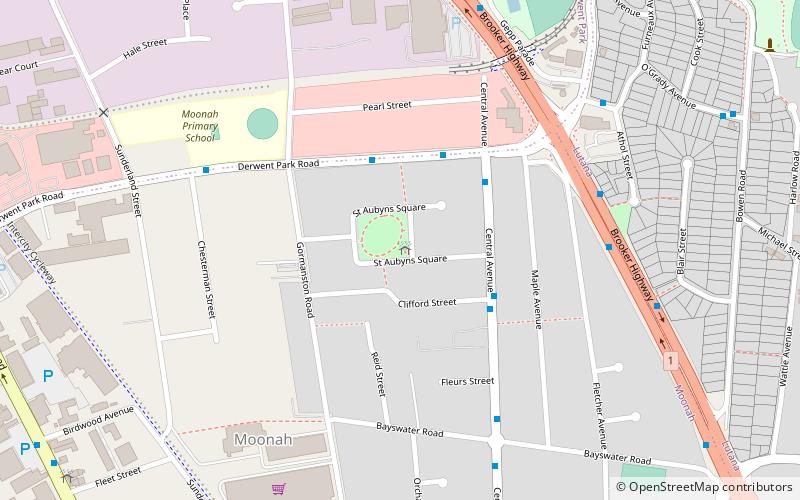
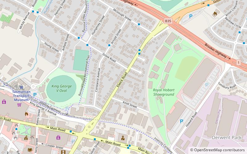
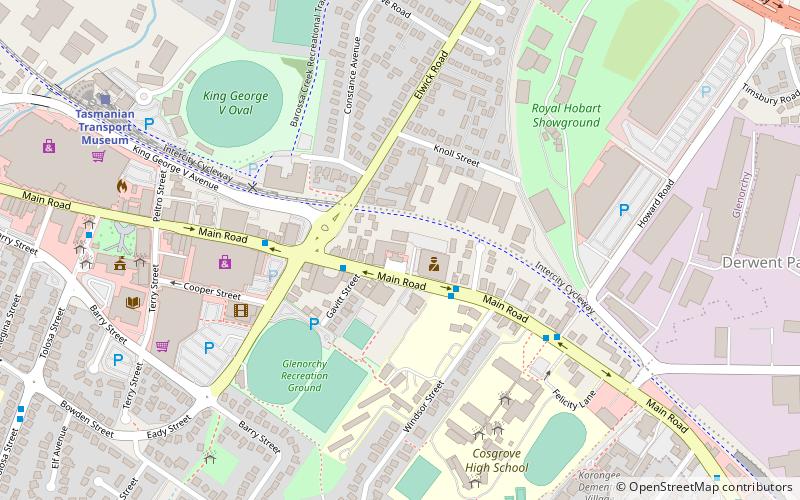
Derwent Park Road is a major link road that connects the Brooker Highway to the Main Road, in the northern suburbs of Hobart, Tasmania. The Road starts at Main Road, Derwent Park and continues East across the Brooker Highway, ending at the Hobart Zinc Works. The road serves in excess of 14,000 vehicles per day. ()
Coordinates: 42°50'24"S, 147°18'0"E
Address
Hobart
ContactAdd
Social media
Add
Getting there by public transportation
Public transportation stops near this location
- Bus
 Bus
Bus
- Calculate routeMetro Springfield 14 min walk
Day trips


Frequently Asked Questions (FAQ)
How to get to Derwent Park Road by public transport?
The nearest stations to Derwent Park Road:
Bus
Bus
- Metro Springfield (14 min walk)