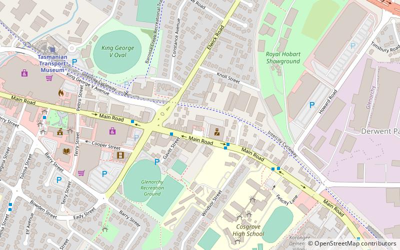
Elwick Road, Hobart
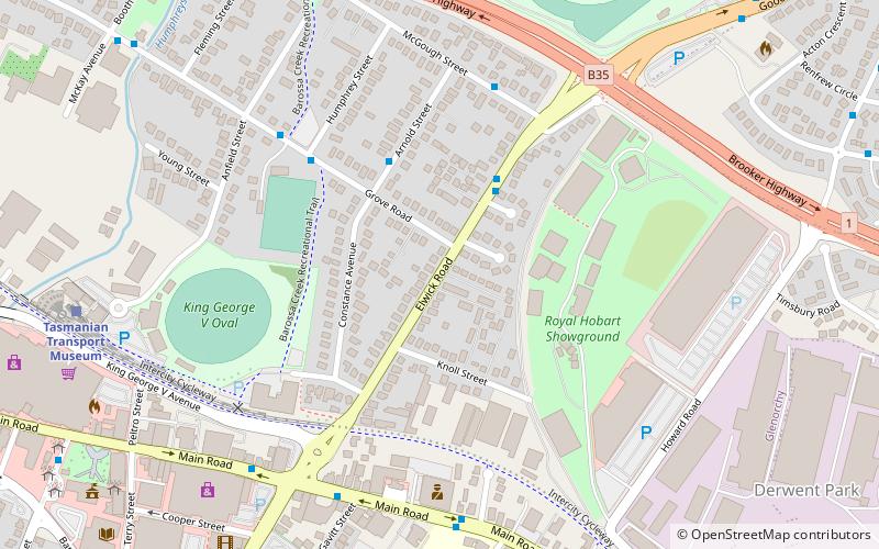
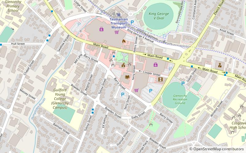
Map
Facts and practical information
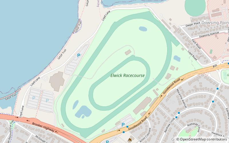
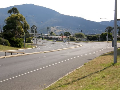
Elwick Road is a major arterial road that runs through the northern suburbs of Hobart, Tasmania. The Road is the major link road between the Main Road and the Brooker Highway that connects to Glenorchy. The Road Passes through residential areas. ()
Coordinates: 42°49'50"S, 147°16'54"E
Address
Hobart
ContactAdd
Social media
Add
Day trips
Elwick Road – popular in the area (distance from the attraction)
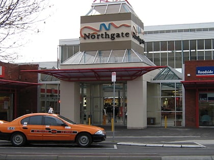
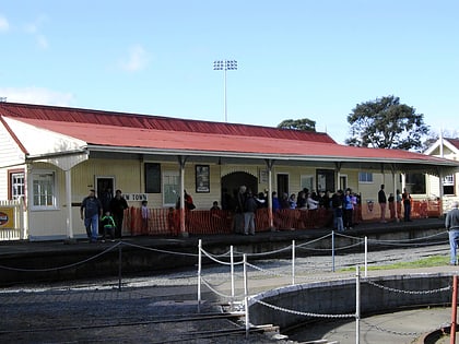
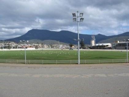
Nearby attractions include: Northgate Shopping Centre, Luxbet Park, Tasmanian Transport Museum, Hobart Showgrounds.
Frequently Asked Questions (FAQ)
Which popular attractions are close to Elwick Road?
Nearby attractions include Hobart Showgrounds, Hobart (8 min walk), Tasmanian Transport Museum, Hobart (9 min walk).
How to get to Elwick Road by public transport?
The nearest stations to Elwick Road:
Train
Bus
Train
- Tasmanian Transport Museum (10 min walk)
Bus
- Glenorchy Interchange (12 min walk)
- Metro Springfield (19 min walk)
