Docklands, Melbourne
Map
Gallery
Facts and practical information
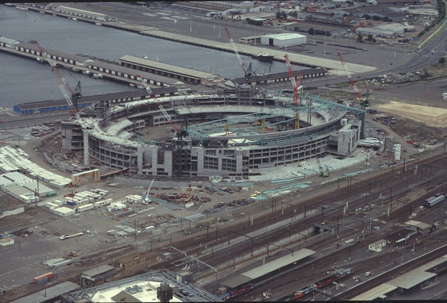
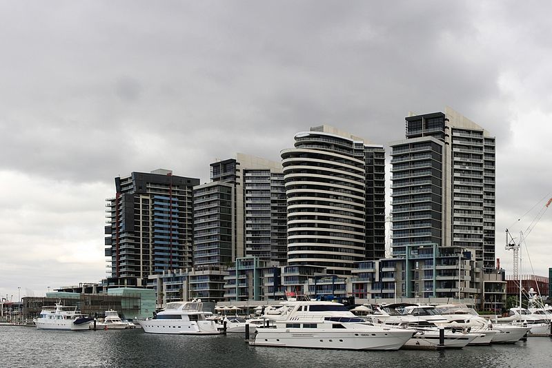
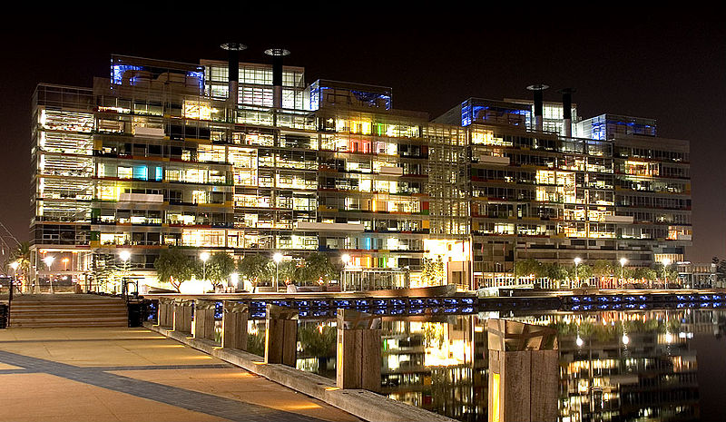
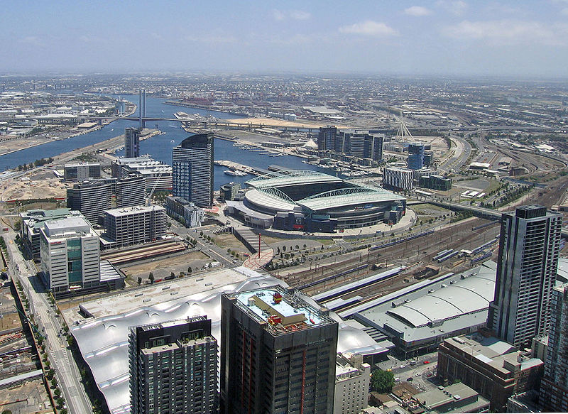
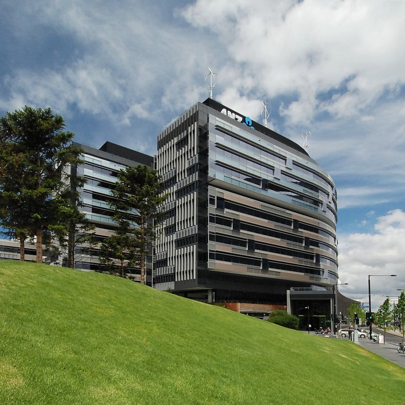
Docklands is an inner suburb of Melbourne, Victoria, Australia, 2 km west of the city's Central Business District. Its local government area is the City of Melbourne. At the 2016 Census, Docklands had a population of 10,964. Primarily a waterfront area centred on the banks of the Yarra River, it is bounded by Wurundjeri Way and the Charles Grimes Bridge to the east, CityLink to the west and Lorimer Street across the Yarra to the south. ()
Day trips
Docklands – popular in the area (distance from the attraction)
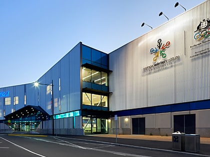
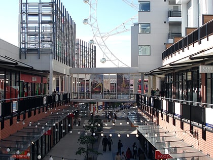
Nearby attractions include: DFO South Wharf, Etihad Stadium, Crown Melbourne, Icehouse.
Frequently Asked Questions (FAQ)
Which popular attractions are close to Docklands?
Nearby attractions include Victoria Point, Melbourne (3 min walk), Etihad Stadium, Melbourne (4 min walk), Wurundjeri Way, Melbourne (6 min walk), 568 Collins Street, Melbourne (8 min walk).
How to get to Docklands by public transport?
The nearest stations to Docklands:
Tram
Ferry
Bus
Train
Tram
- Stop D3: Stadium Precinct • Lines: 35, 70, 70d, 75 (1 min walk)
- Stop D1: Stadium Precinct • Lines: 30, 35, 86, 86d (6 min walk)
Ferry
- Port Phillip Ferries (2 min walk)
Bus
- 48728 • Lines: 235, 237 (8 min walk)
- Southern Cross Coach Terminal • Lines: SkyBus (9 min walk)
Train
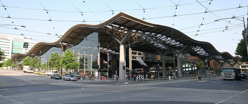
- Southern Cross (9 min walk)
- Flagstaff (18 min walk)



 Melbourne Trams
 Victoria Trains


