Charles Grimes Bridge, Melbourne
Map

Map

Facts and practical information
Opened: 1975 (51 years ago)Coordinates: 37°49'24"S, 144°56'53"E
Day trips
Charles Grimes Bridge – popular in the area (distance from the attraction)
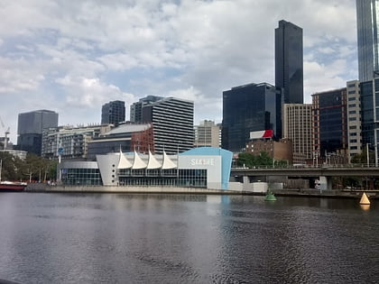
Nearby attractions include: Sea Life Melbourne Aquarium, DFO South Wharf, Etihad Stadium, Crown Melbourne.
Frequently Asked Questions (FAQ)
Which popular attractions are close to Charles Grimes Bridge?
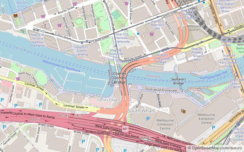
Nearby attractions include Jim Stynes Bridge, Melbourne (1 min walk), Seafarers Bridge, Melbourne (6 min walk), Melbourne Convention and Exhibition Centre, Melbourne (7 min walk), Melbourne Maritime Museum, Melbourne (8 min walk).
How to get to Charles Grimes Bridge by public transport?
The nearest stations to Charles Grimes Bridge:
Tram
Bus
Train
Ferry
Tram
- Stop D4: Docklands Park • Lines: 35, 70, 70d, 75 (4 min walk)
- Stop D16: Harbour Esplanade • Lines: 11, 48, 48d (5 min walk)
Bus
- 48728 • Lines: 235, 237 (5 min walk)
- Southern Cross Coach Terminal • Lines: SkyBus (15 min walk)
Train
- Southern Cross (11 min walk)
- Flagstaff (24 min walk)
Ferry
- Port Phillip Ferries (12 min walk)

 Melbourne Trams
 Victoria Trains


