Magdala Park, Sydney

Map
Facts and practical information
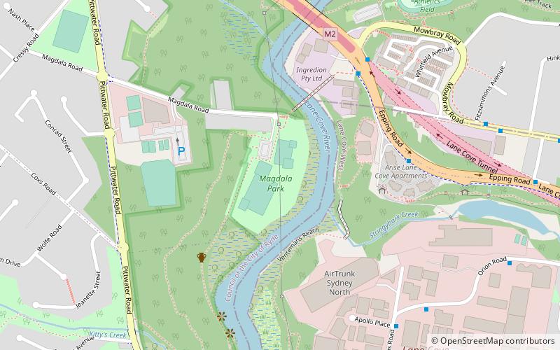
Magdala Park is a recreational area. The park is adjacent to Lane Cove River, Sydney, Australia. The park also has forest areas, where recreational activities are taken up. The football field playing surfaces are maintained by the City of Ryde Council. The park has a canteen, seating and lights. ()
Opened: 1987 (39 years ago)Capacity: 3000Elevation: 43 ft a.s.l.Coordinates: 33°48'18"S, 151°8'35"E
Address
Ryde (North Ryde)Sydney
ContactAdd
Social media
Add
Day trips
Magdala Park – popular in the area (distance from the attraction)
Nearby attractions include: Northern Suburbs Crematorium, Macquarie Park Cemetery and Crematorium, Sydney Turpentine-Ironbark Forest, Fullers Bridge.
Frequently Asked Questions (FAQ)
Which popular attractions are close to Magdala Park?
Nearby attractions include Sydney Turpentine-Ironbark Forest, Sydney (22 min walk), Northern Suburbs Crematorium, Sydney (23 min walk).
How to get to Magdala Park by public transport?
The nearest stations to Magdala Park:
Bus
Metro
Bus
- Mowbray Road • Lines: 290 (7 min walk)
- Cumberland Ave • Lines: 290 (12 min walk)
Metro
- North Ryde • Lines: Sydney Metro Northwest (21 min walk)
 Sydney Trains
 Sydney Light Rail
 Sydney Ferries


