Lachlan's Square Village, Sydney

Map
Facts and practical information
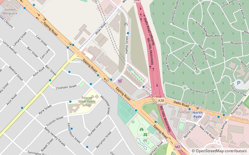
Lachlan's Square Village is a shopping centre in the suburb of Macquarie Park in Northern Sydney. ()
Coordinates: 33°47'34"S, 151°8'1"E
Address
Ryde (Macquarie Park)Sydney
ContactAdd
Social media
Add
Day trips
Lachlan's Square Village – popular in the area (distance from the attraction)
Nearby attractions include: Macquarie Centre, Macquarie Ice Rink, Northern Suburbs Crematorium, Fiddens Wharf.
Frequently Asked Questions (FAQ)
Which popular attractions are close to Lachlan's Square Village?
Nearby attractions include Sydney Turpentine-Ironbark Forest, Sydney (4 min walk), Macquarie Park Cemetery and Crematorium, Sydney (11 min walk), Commandment Rock, Sydney (21 min walk), Fiddens Wharf, Sydney (24 min walk).
How to get to Lachlan's Square Village by public transport?
The nearest stations to Lachlan's Square Village:
Bus
Metro
Bus
- Lachlan's Line - Halifax Street • Lines: 259, 290 (2 min walk)
- Ryrie St • Lines: 545 (3 min walk)
Metro
- North Ryde • Lines: Sydney Metro Northwest (7 min walk)
- Macquarie University • Lines: Sydney Metro Northwest (36 min walk)
 Sydney Trains
 Sydney Light Rail
 Sydney Ferries


