East Terrace, Adelaide

Facts and practical information
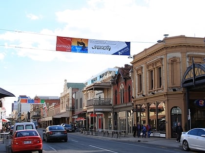
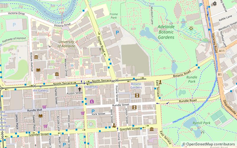
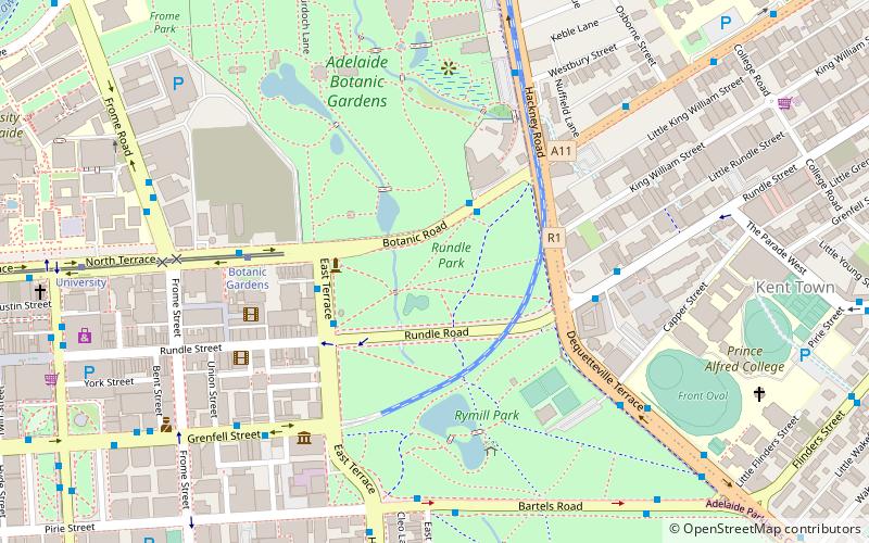
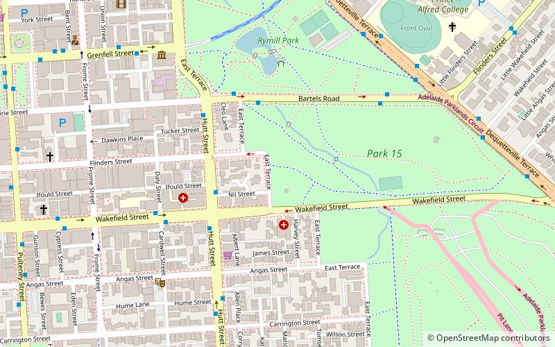
East Terrace marks the eastern edge of the Adelaide city centre. It is one of the main north–south thoroughfares through the east side of the city. Although the terrace essentially runs north–south between North Terrace and South Terrace, unlike Adelaide's other three terraces, its path is far from a straight line; travelling the entire length of East Terrace requires turning at right angles at most intersections from Pirie Street onwards. These days however, the traffic flow, after a swerve to the east between Grenfell and Pirie Streets, continues southwards over the Pirie intersection into Hutt Street and on down to South Terrace. ()
Adelaide (Adelaide Park Lands)Adelaide
East Terrace – popular in the area (distance from the attraction)
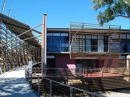
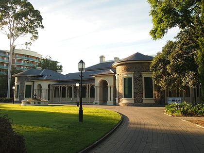
Nearby attractions include: Rundle Street, National Wine Centre of Australia, Adelaide Arcade, Ayers House.
Frequently Asked Questions (FAQ)
Which popular attractions are close to East Terrace?
How to get to East Terrace by public transport?
Tram
- Botanic Gardens (13 min walk)
- University (16 min walk)
Bus
- Stop VS3 Victoria Square - East side • Lines: 224, 224F, 224X (20 min walk)
- Stop F1 King William Street - North East side • Lines: 253X (20 min walk)
Train
- Adelaide (28 min walk)

