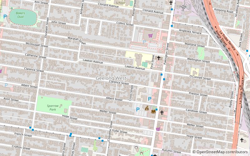
Geelong West, Geelong

Gallery (1)
Map
Map
Facts and practical information
Geelong West is a commercial and residential suburb of Geelong, Victoria, Australia. When Geelong was founded, the area was known as Kildare but its name was changed to Geelong West in 1875. The main street is Pakington Street. At the 2016 Census, Geelong West had a population of 6,966. ()
Coordinates: 38°8'21"S, 144°20'46"E
Address
Geelong
ContactAdd
Social media
Add
Getting there by public transportation
Public transportation stops near this location
- Bus
- Train
 Bus
Bus
- Calculate routeCoquette Street/Autumn Street 7 min walk
- Calculate routeWest Park/Autumn Street 7 min walk
- Calculate routeThomas Street/Autumn Street 8 min walk
- Calculate routeElizabeth Street/Autumn Street 11 min walk
- Calculate routeGeelong 16 min walk
- Calculate routeNorth Geelong 31 min walk
Day trips


Frequently Asked Questions (FAQ)
Which popular attractions are close to Geelong West?
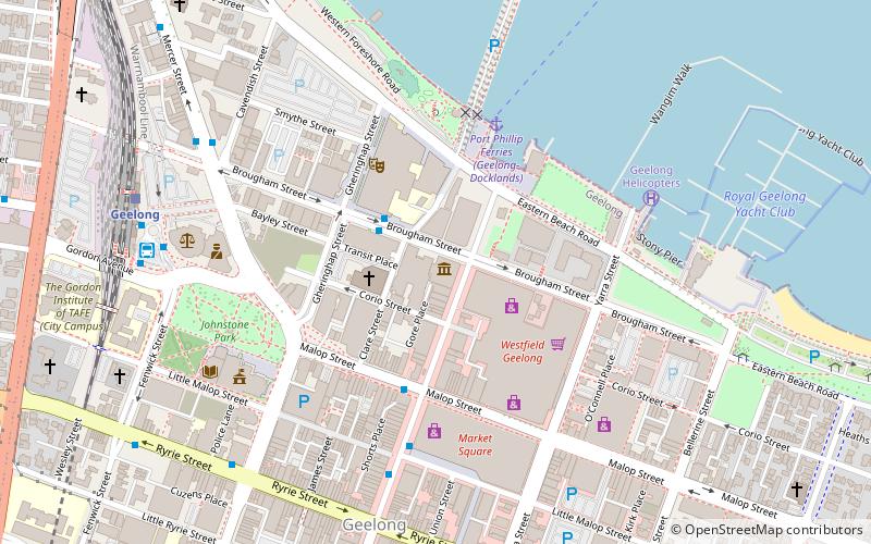
Nearby attractions include Johnstone Park, Geelong (20 min walk), Ford Discovery Centre, Geelong (20 min walk), Geelong Arts Centre, Geelong (20 min walk), Geelong Town Hall, Geelong (21 min walk).
How to get to Geelong West by public transport?
The nearest stations to Geelong West:
Bus
Train
Bus
- Coquette Street/Autumn Street • Lines: 1 (7 min walk)
- West Park/Autumn Street • Lines: 1 (7 min walk)
Train
- Geelong (16 min walk)
- North Geelong (31 min walk)