Geelong Waterfront, Geelong


Facts and practical information
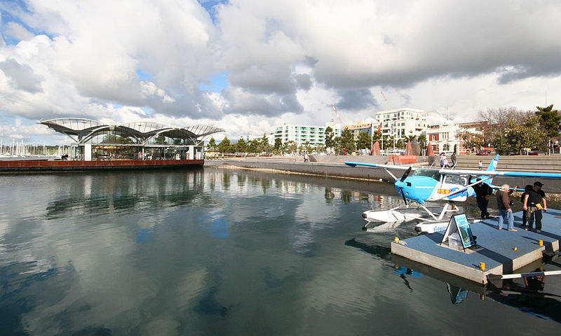
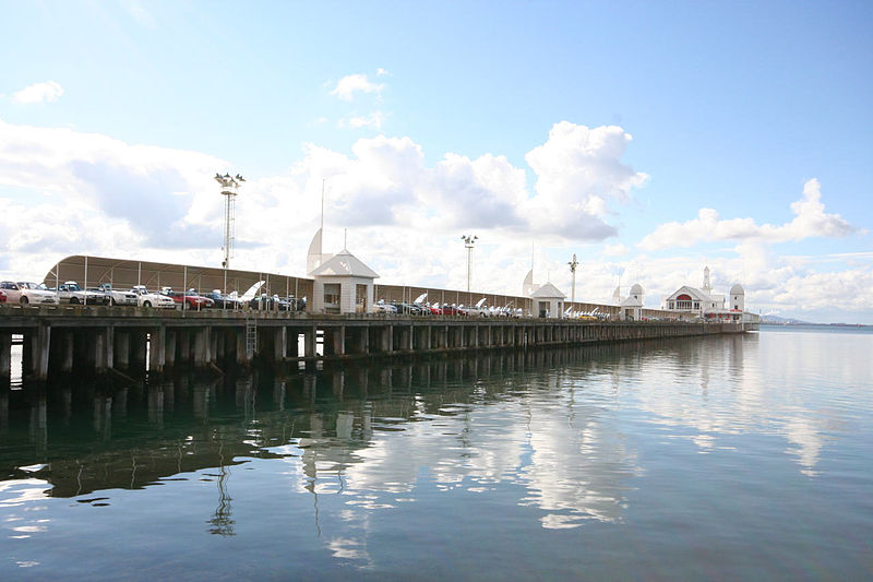
The Geelong Waterfront is a vibrant and picturesque destination in the heart of Geelong, Australia, blending the city's rich maritime history with contemporary charm. This bustling port area has been transformed into a popular spot for both locals and tourists, offering a plethora of activities, dining options, and scenic views of Corio Bay.
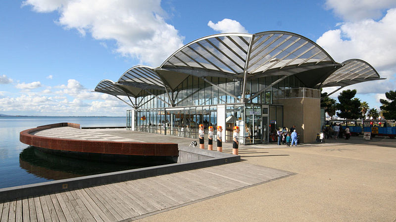
Once a busy industrial hub, the Geelong Waterfront has been reimagined into a leisure and cultural precinct. The area features a collection of historic buildings, including the iconic wool stores and the restored carousel pavilion, which houses a classic 1892 steam-driven carousel – a delight for children and nostalgic adults alike.
Visitors to the Geelong Waterfront can enjoy a stroll along the beautifully landscaped promenade, dotted with public artworks and installations that pay homage to the city's nautical heritage. The Baywalk Bollards, a series of colorful, whimsical sculptures by artist Jan Mitchell, depict characters from Geelong's past and present, providing a playful and engaging way to learn about the city's history.
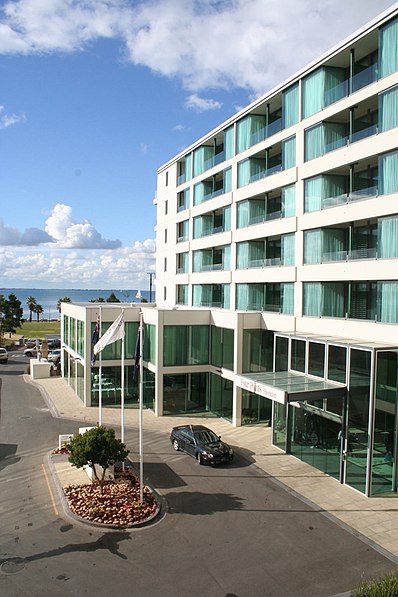
For those looking to relax, there are plenty of green spaces and benches to soak in the serene water views. The area also boasts a diverse range of dining options, from casual cafes to upscale restaurants, many with alfresco seating to make the most of the waterfront setting.
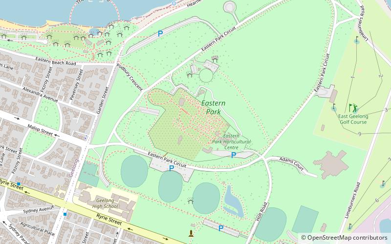
Active visitors can take advantage of the many recreational activities available, such as swimming at the nearby Eastern Beach, sailing, or taking a scenic cruise around the bay. The Geelong Waterfront is also home to several significant events throughout the year, including the Festival of Sails, Australia's largest annual keelboat regatta.
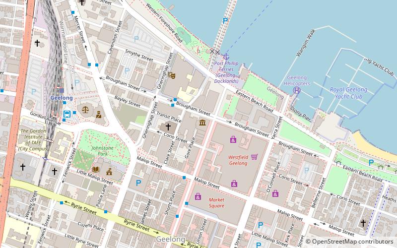
Eastern Beach RdGeelong 3220
- Bus
- Train
 Bus
Bus
- Calculate routeDeakin University City Campus/Brougham Street 5 min walk
- Calculate routeMoorabool St/Malop St 8 min walk
- Calculate routeMoorabool Street Bus Interchange 9 min walk
- Calculate routeCavendish St/Mercer St 9 min walk
- Calculate routeGeelong 12 min walk
- Calculate routeSouth Geelong 27 min walk


Frequently Asked Questions (FAQ)
Which popular attractions are close to Geelong Waterfront?
How to get to Geelong Waterfront by public transport?
Bus
- Deakin University City Campus/Brougham Street • Lines: 1 (5 min walk)
- Moorabool St/Malop St • Lines: 19, 5048 (8 min walk)
Train
- Geelong (12 min walk)
- South Geelong (27 min walk)