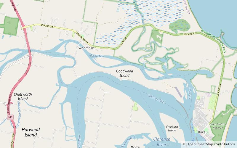
Goodwood Island, Yamba

Map
Facts and practical information
Goodwood Island is an island situated between the main channel of the Clarence River and the river's north Arm near Iluka and Woombah, New South Wales Australia. It has a large wharf at the Port of Yamba where ocean traders collect cargo to take to New Zealand, Lord Howe Island and Norfolk Island. ()
Coordinates: 29°22'41"S, 153°18'11"E
Address
Yamba
ContactAdd
Social media
Add
Day trips
Goodwood Island – popular in the area (distance from the attraction)
Nearby attractions include: Clarence River Light, Pippi Beach Penthouse #Bindaree no 9, Harwood Bridge, Iluka Nature Reserve.


