Cathedral Square, Perth
Map
Map

Facts and practical information
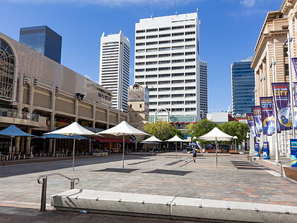
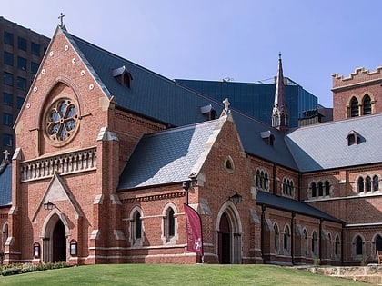
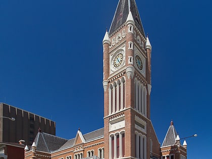
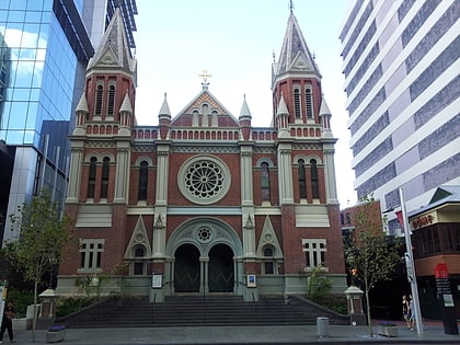
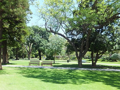
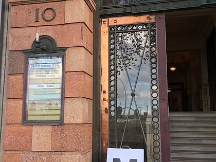
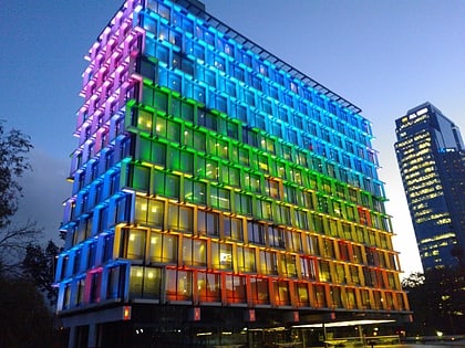
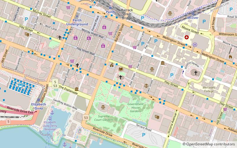
Cathedral Square is a precinct in the central business district of Perth, Western Australia bounded by Hay Street to the north, Pier Street to the east, St Georges Terrace to the south, and Barrack Street to the west. ()
Coordinates: 31°57'20"S, 115°51'40"E
Address
Perth CBDPerth
ContactAdd
Social media
Add
Day trips
Cathedral Square – popular in the area (distance from the attraction)
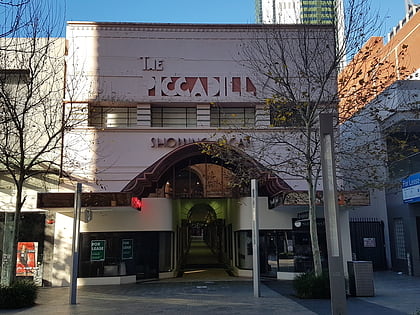
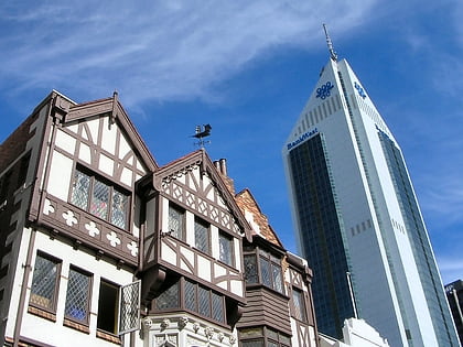
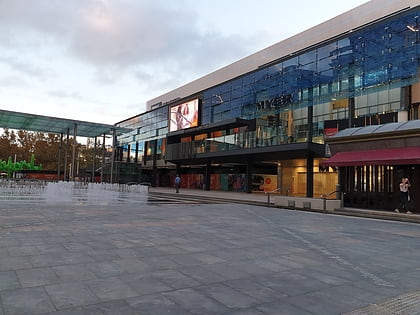
Nearby attractions include: Piccadilly Theatre and Arcade, London Court, Forrest Chase, Carillon City.
Frequently Asked Questions (FAQ)
Which popular attractions are close to Cathedral Square?
Nearby attractions include Cathedral Avenue, Perth (1 min walk), St George's Cathedral, Perth (1 min walk), City of Perth Library, Perth (1 min walk), Burt Memorial Hall, Perth (2 min walk).
How to get to Cathedral Square by public transport?
The nearest stations to Cathedral Square:
Bus
Train
Ferry
Bus
- Town Hall • Lines: 2 (2 min walk)
- Murray Street • Lines: 2 (5 min walk)
Train
- Perth (8 min walk)
- Elizabeth Quay (10 min walk)
Ferry
- Elizabeth Quay Ferry Terminal • Lines: Transperth Ferry - Elizabeth Qua, Transperth Ferry - Mends Street (9 min walk)
- Barrack Street Jetty • Lines: Express (10 min walk)

