Hoddle Bridge, Melbourne
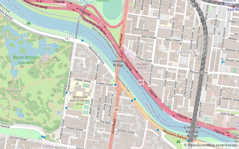
Map

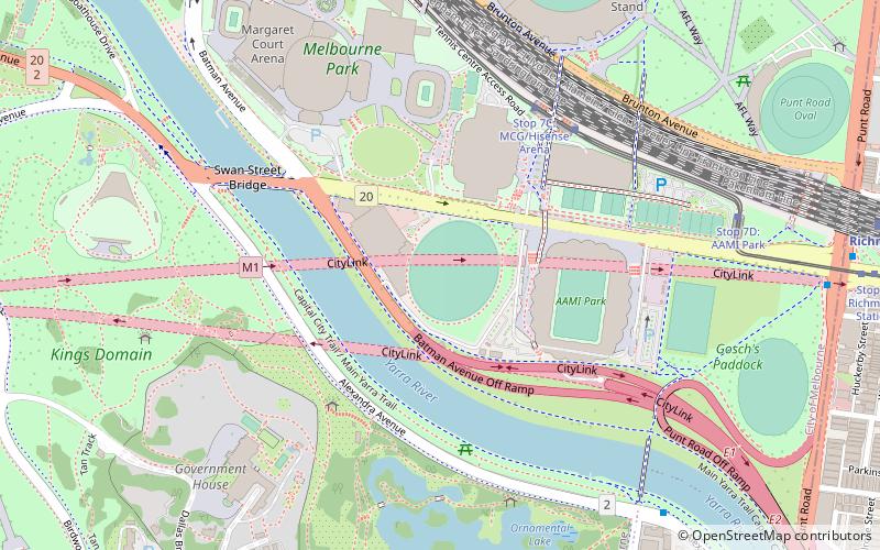
Map

Facts and practical information
The Hoddle Bridge is an arch bridge that carries Punt Road over the Yarra River between Richmond and South Yarra in Melbourne, Australia. It is a five-lane road bridge with narrow footpaths on either side. It is of continuous reinforced concrete T-beam construction with five segmental arched spans, supported on transverse piers, and linked by concrete cross-beams. ()
Opened: 22 December 1938 (87 years ago)Coordinates: 37°49'49"S, 144°59'17"E
Address
Stonnington (South Yarra)Melbourne
ContactAdd
Social media
Add
Day trips
Hoddle Bridge – popular in the area (distance from the attraction)
Nearby attractions include: Royal Botanic Gardens, AAMI Park, Kings Domain, Melbourne Park.
Frequently Asked Questions (FAQ)
Which popular attractions are close to Hoddle Bridge?
Nearby attractions include Nylex Clock, Melbourne (2 min walk), Punting on the Lake, Melbourne (7 min walk), Morell Bridge, Melbourne (7 min walk), Cremorne, Melbourne (7 min walk).
How to get to Hoddle Bridge by public transport?
The nearest stations to Hoddle Bridge:
Bus
Tram
Train
Bus
- Alexandra Avenue/Punt Road • Lines: 246 (2 min walk)
- Dobson St/Alexandra Ave • Lines: 605 (3 min walk)
Tram
- Stop 8: Richmond Station • Lines: 70, 70d (11 min walk)
- Stop 7D: AAMI Park • Lines: 70, 70d (12 min walk)
Train
- Richmond (12 min walk)
- East Richmond (15 min walk)

 Melbourne Trams
 Victoria Trains


