Portsea Hole

Map
Facts and practical information
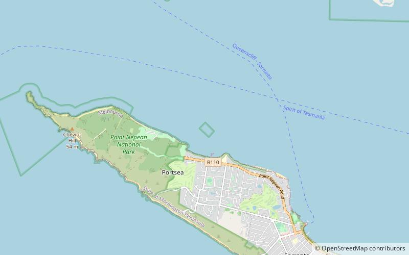
The Portsea Hole is a depression in the seafloor of Port Phillip near Portsea in Victoria, Australia. The undefined area of the depression, generally assessed at 10 hectares, is one of six separate areas that comprise the Port Phillip Heads Marine National Park and is a popular site for divers. ()
Coordinates: 38°18'39"S, 144°42'40"E
Day trips
Portsea Hole – popular in the area (distance from the attraction)
Nearby attractions include: Point Lonsdale Lighthouse, Fort Nepean, Queenscliffe Maritime Museum, Queenscliff High Light.


